JAMESTOWN – Arctic air holds its grip across Western New York for one more day before some milder air moves back in for the middle of the week.
It was a very cold morning! Many locations were sub-zero this morning with negative double digits showing up in some spots, especially on the hills.

The Wind Chill Warning remains in place for the entire Southern Tier and for Warren County, PA until 7 p.m. this evening for wind chill values 15 to 30 below zero.

With clearing skies tonight, that will drop temps back into the sub-zero range again for Tuesday morning. Forecast low range: 12 below zero in the valleys and hills to 3 above at the Lake Erie shoreline.
Temps will rebound slightly into the 20s for Tuesday with partial sunshine throughout the day.
A system will move towards the region on Wednesday with a change in the wind flow. A southerly wind will boost our temps into the 40s with rain showers throughout the day.
There is the potential for some freezing rain early on Wednesday as temps rise through the 30s in the morning hours. The good news is we’re not expecting any icing problems from that.
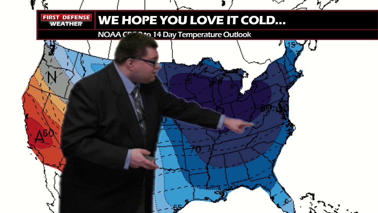
Another shot of Arctic air will fill back in towards weeks end with the potential for some lake effect snows Friday through Sunday.

Still too early to know exact timing and how much snow we could see out that, but that will be something we will keep our eyes on as we go throughout the week.
WNYNewsNow is a proud Ambassador for the NOAA Weather-Ready Nation program.


Leave a Reply