JAMESTOWN – After highs in the 40s for most areas around Western New York, lake effect snow will be making a return once again.
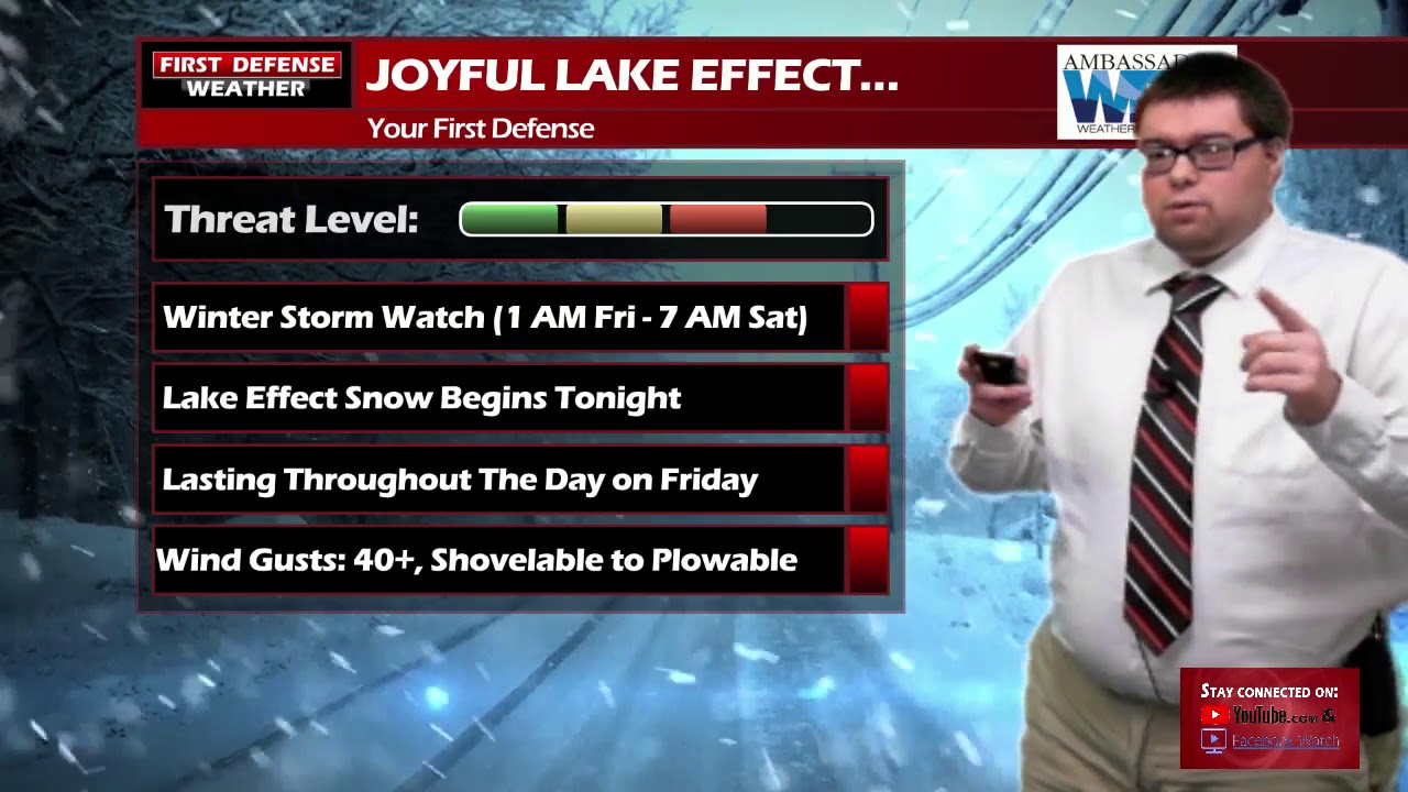
The National Weather Service in Buffalo has upgraded the Winter Storm Watch to a Winter Storm Warning all of the Southern Tier, going into effect at 1 a.m. tonight and running through 7 a.m on Saturday.

Lake effect snow will set up shop tonight and last throughout the day on Friday. The band will be moving south and north through the day so the lake snow won’t stay in one place for too long.

The winds will also pick up as well with gusts upwards of 40 MPH at times which can cause some blowing and drifting snow, reducing visibilities.
In terms of accumulation, Snow Machine doesn’t feel too overwhelmed with this event; suggesting snow amounts between 6 to 8 inches with higher amounts closer to 10 or 11 inches on the hills in localized nature.

The Next Big Thing: After the lake effect this weekend, we turn our attention to very intense Arctic air which looks to invade the mid to late week next week. Signs on the longer-range models are pointing to this being similar to the Arctic air we experienced back in February 2014 with the “Polar Vortex”.

As often is the case when we have a relatively slow start to Winter; it can come and hit us like a ton of bricks going into the second half of the season…

WNYNewsNow is a proud Ambassador for the NOAA Weather-Ready Nation program.


Leave a Reply