JAMESTOWN – It may be another day but it’s the same song and dance across the region. We will get a break from the clouds and rain for a day before more rain returns for the weekend.
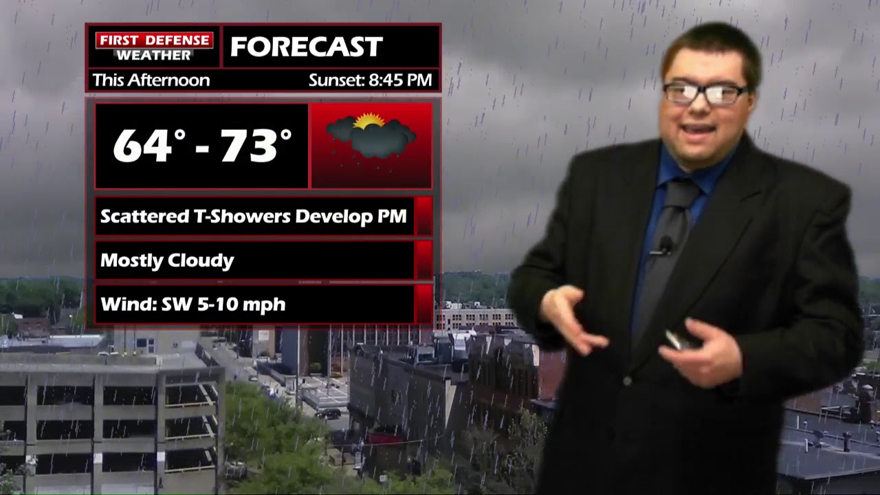
Rain and thundershowers will come our way throughout the afternoon today. Much like the past few days, none of this rain will be widespread; expect mostly cloudy intervals in between the rain coverage at times.
We will start to get high pressure to build back in to the region on Friday and that will clear out the cloud cover and leave us with mostly sunny skies. We may even have a period of complete sunshine in the afternoon with temps in the lower 70’s.
That sunshine is short-lived however as more scattered showers and storms return over the weekend. Please keep in mind that neither weekend day will be a total washout. There will be periods of dry time in between but do not expect much in the way of sunshine.

We are expecting June to start on a chilly note. The NOAA Climate Prediction Center has Western New York under a 40 percent chance for below average temperatures through the first week of June.

WNYNewsNow is a proud Ambassador for the NOAA Weather-Ready Nation program.


Leave a Reply