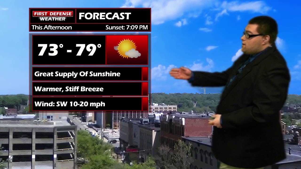
JAMESTOWN – A mostly sunny sky through the afternoon and a stiff south to southwest wind will help to propel temperatures into the mid to upper 70’s through the day. A series of Cold fronts will bring the chance for a few rain showers tonight through Thursday.
The night will start dry with partly cloudy skies however, the cloud cover will thicken up after midnight as the first front drops through. A few scattered showers across the Southern Tier are possible as the front moves in. Morning lows 54 to 63.
The best chance of rain on Thursday will be in the morning and early afternoon hours, tapering off for the late after with some peaks of sun possible. Highs 64 to 71.
Friday will be another summer-like day with lots of sunshine and temperatures in the lower 70’s. That above-average warmth will linguine through the weekend Inyo early next week.

Long-range data does suggest a warmer than average pattern continuing through at least the middle of October. Of course, this is out in Voodoo Country and nothing that far out is guaranteed.
WNYNewsNow is a proud Ambassador for the NOAA Weather-Ready Nation program.
![]()


Leave a Reply