App users, tap here to watch video.
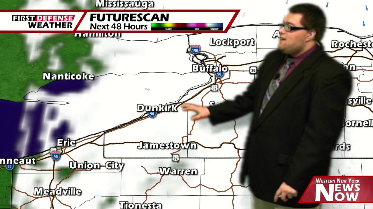
JAMESTOWN – The sun is back out in good supply once again today with a bit of a breeze. It won’t be as sunny tomorrow as clouds filter in from a coastal storm before we reintroduce a couple showers during the second half of the weekend.
Expect lots of sun through the afternoon today. There will be a stiff northwest breeze up to 20 MPH at times. Highs will range 41 on the highest hills to 47 near the Lake Erie shoreline.
Partly to mostly cloudy and quiet tonight. It will be a bit chilly. Lows 30 valleys, 35 lakeshore.
A deep costal storm system moving away from the US will be bringing lots of clouds to the region tomorrow as we get wrapped up in the storm flow. Expect partly sunny skies with highs 42 to 48.
We’ll be back to mostly sunny skies on Saturday while also becoming warmer as well with highs in the lower to mid 50’s.
A week Cold front will scoot by later Saturday night into Sunday, trigging off the possibility of maybe a few widely spaced showers. Highs will be nearing 60 once again.

High pressure returns to the region on Monday giving us a nice and dry day but with some clouds around. We will stay rather mild with highs in the lower 60’s.
We’ll introduce a couple showers into Western New York once again Tuesday and Wednesday with a weak trough an associated storm system. Highs will stays in the lower 60’s.
WNYNewsNow is a proud Ambassador for the NOAA Weather-Ready Nation program.
![]()


Leave a Reply