App users, tap here to watch video.
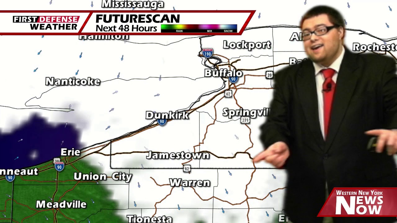
JAMESTOWN – Clouds are streaming in from an interesting direction today; east to west, thanks to a coastal storm. While we should be on the drier side, a couple sprinkles are possible tonight before another chance of showers return over the second half of the weekend.
After a mostly sunny start, clouds will be on the increase through the afternoon. We’ll likely end the day partly sunny to mostly cloudy. There will be a bit of a stiff breezy early in the afternoon as well. Highs will range 43 on the hills to 48 near the Lake Erie shoreline.
Mostly cloudy to overcast throughout the night tonight with small chance for a light sprinkle early in the evening. Some patchy fog may setup by the morning hours. Lows 34 in the deepest valleys to 38 at the lakeshore. Light winds.
Morning clouds will give way to partly to mostly sunny skies in the afternoon on Saturday. We’ll be back into a warmer feel with highs in the mid 50’s.
A weak Cold front moving through later Saturday night and Sunday will bring some precipitation our way in the form of a few scattered showers. Highs on Sunday will be in the mid 50’s

We’ll squeeze out a mainly dry day on Monday with highs nearing 60 through the day.
A few showers will be possible Tuesday and Wednesday with highs in the upper 50’s to near 60.
A shift in the upper air pattern will occur later next week, dropping our highs back below average into the upper 40’s with a few rain showers possible Thursday.
WNYNewsNow is a proud Ambassador for the NOAA Weather-Ready Nation program.
![]()


Leave a Reply