App users, tap here to watch video
JAMESTOWN – The sun is out in good force today with a few more clouds tomorrow. Rain chances will return throughout the remainder of the week as up and down temperatures continue.
Partly to mostly sunny skies will take us through the afternoon. There will be a small breeze through the reminder of the day. Highs will range 48 on the hills to 55 near the Lake Erie shoreline. Wind N 6-15 MPH.
Partly cloudy skies early tonight with increasing clouds overnight. A dry and quiet night. Lows 37 valleys, 43 lakeshore.
There will be more clouds than sun throughout the day on Tuesday with a 20 to 25 percent chance of an isolated morning sprinkle or shower. Highs 49 to 57.
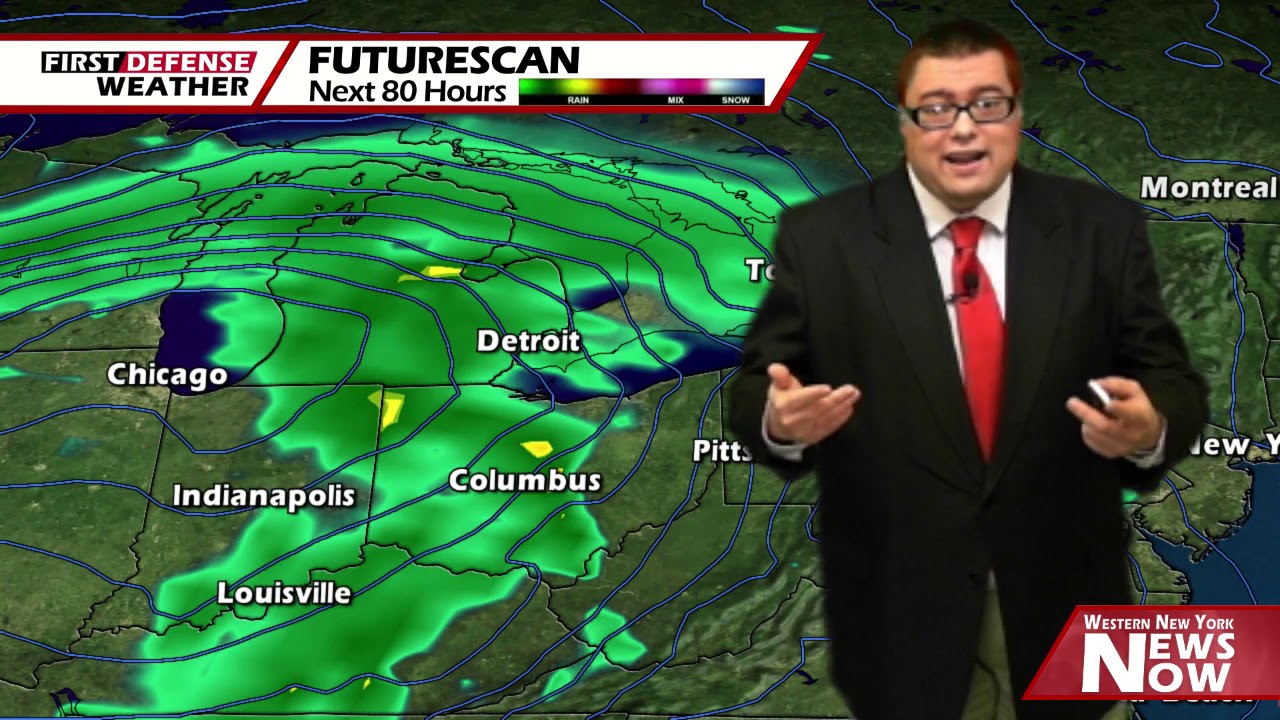
A storm system moving northwest of the region through the upper Great Lakes will support on again, off again rain showers throughout the day on Wednesday. The wind will also tick up with gusts possibly exceeding 40 MPH. As a warm front surges through the region, we should warm up nicely to around average in lower to mid 60’s.

We will keep the chance for more numerous showers on Thursday and Friday with temps going back down once again. We should finish out the week in the mid to upper 40’s on Friday.
Heading into the weekend, we’ll squeeze out a dry day on Saturday before another chance for scattered showers are reintroduced into the region. Temps will be near average to potently above average on Sunday with highs in the mid to upper 60’s.
WNYNewsNow is a proud Ambassador for the NOAA Weather-Ready Nation program.
![]()


Leave a Reply