App users, tap here to watch video
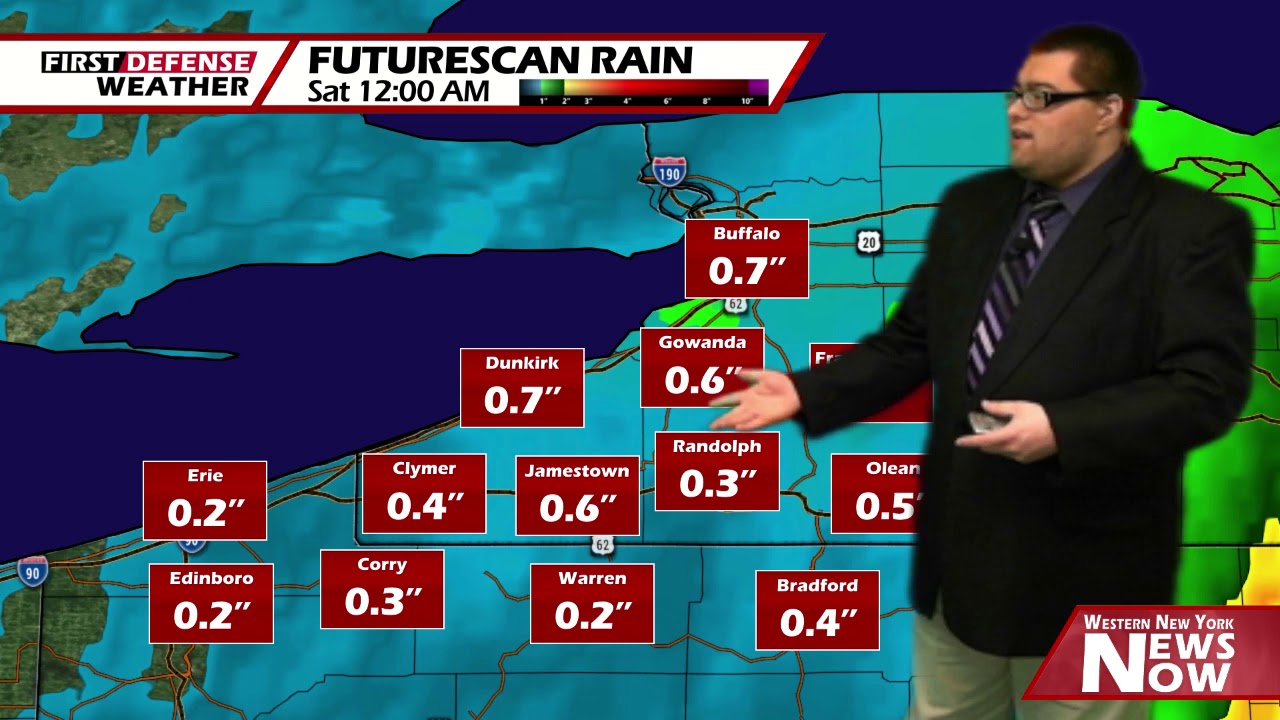
JAMESTOWN – It’s been a wet go much of the day and that will continue to be the case throughout at least Friday morning. A seasonable weekend is ahead before much colder air invades once again.
The most widespread amount of rain has moves out to the east but with a low basically sitting stationary over southeast Michigan, scattered showers will continue to be the case through the rest of the afternoon. Highs 53 on the highest hills to 64 near Lake Erie.
Scattered rain showers will continue tonight with mostly cloudy to overcast intervals at times. Patchy valley fog will develop overnight into the morning hours. Lows 43 valleys, 46 lakeshore. Light wind.
A few scattered showers will be around from place to place early on Friday before becoming mostly cloudy for the afternoon. Highs 51 to 58.
Saturday will be likely be your pick day of the weekend. Partly to mostly sunny skies will be the story as we end up on the drier side of the departing storm. Highs in the lower 60’s.

With a weak front moving through on Sunday, we will warm up into the mid 60’s but there will be the chance for a scattered shower or two in the morning and in the late afternoon. However, much of the day should be dry with partial sunshine.
A northerly wind flow starts to set up early next week, gradually dropping our highs back below average once again. Temps will range from the upper 40’s to lower 50’s much of next week.
WNYNewsNow is a proud Ambassador for the NOAA Weather-Ready Nation program.
![]()


Leave a Reply