App users, tap here to watch video
JAMESTOWN – Showers and thunderstorms will be possible the next couple of days with some brief relief from the overall humidity later in the week.
A storm system moving towards the northwest of the region in the upper Great Lakes will spawn a few showers and thunderstorms through the day on Thursday with some of them potentially becoming strong to severe. We’ll have a slight break from the humidity come late week into the first part of the weekend before more heat and humidity returns for next week.
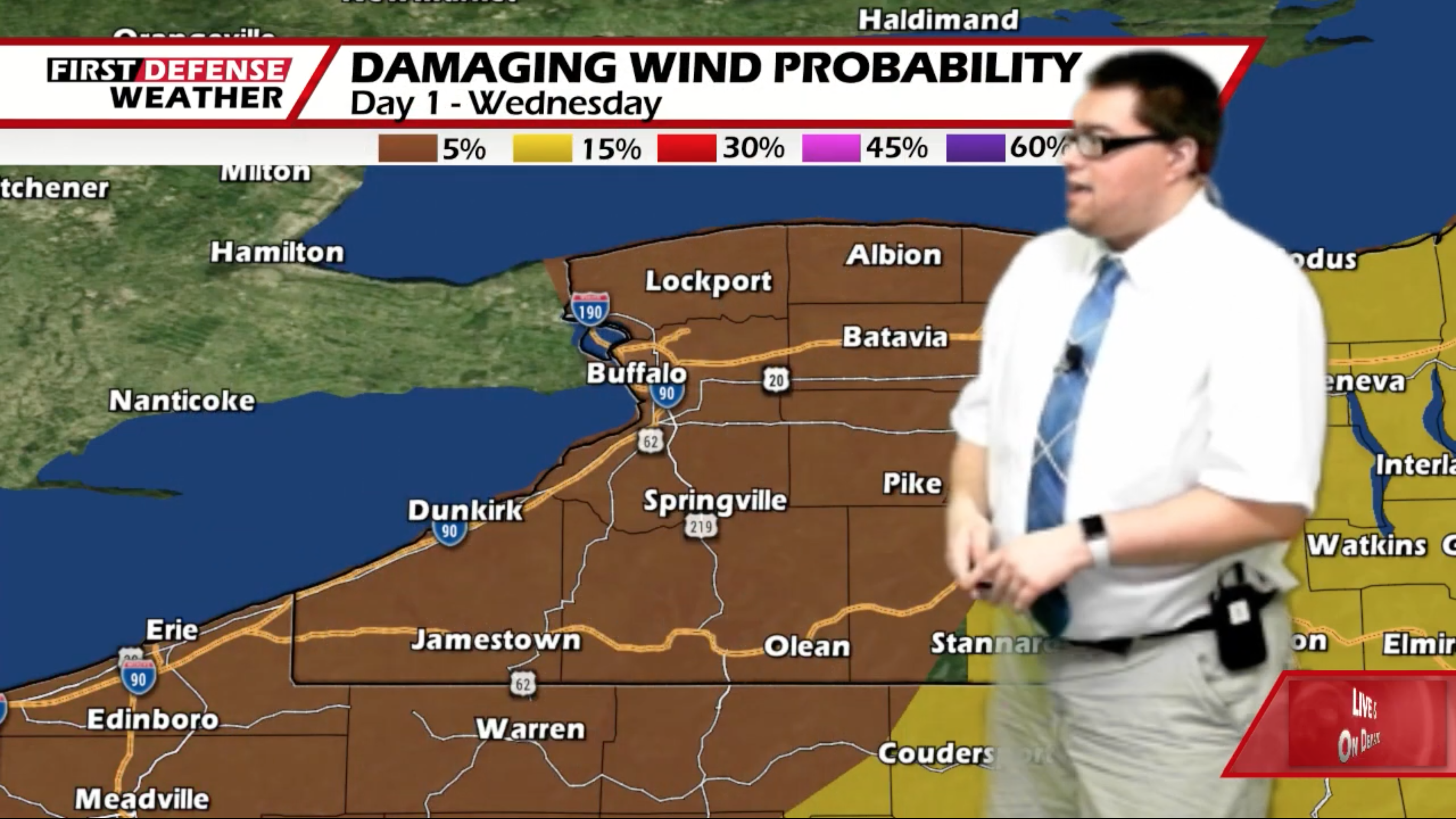
The NOAA Storm Prediction Center has outlined all of Western New York and Northwestern Pennsylvania under a low-end Marginal risk, a level 1 out of 5, for severe thunderstorms this afternoon and evening.

While the threat of a severe storm is low, a couple storms could be on the stronger side with gusty winds and heavy rain. There is no tornado threat. Even though it is cooler today with highs 75 to 81, the humidity will be factor so it will be feeling warmer than the actual air temperatures.
Scattered showers and storms will continue into tonight with some pockets mostly cloudy intervals. It will be quite warm and muggy so it will be another A/C on kind of night. Lows 66 to 73.
As the storm will be slow to move out, scattered showers and thunderstorms will continue into Thursday as well. The SPC also has a Marginal Risk defined for the far southern portion of the Southern Tier and Northwestern Pennsylvania for Thursday afternoon.

Much like Wednesday, the main threats will be from gusty winds and heavy rain. Highs 75 to 81.
An area of High pressure will return to the region on Friday brining back not only a good supply of sunshine but much more refreshing air as well. Highs in the lower 80’s.
We’ll stay dry with a good amount of sunshine on Saturday with highs in the lower 80’s.

Heading into Sunday and early next week, another surge of warm and humid air will be filter into the region yet again. Highs will go into the mid 80s with scattered afternoon showers and thunderstorms.
WNYNewsNow is a proud Ambassador for the NOAA Weather-Ready Nation program.
![]()


Leave a Reply