JAMESTOWN – A quiet warm weather weekend will be in place through the region as high pressure covers the region.
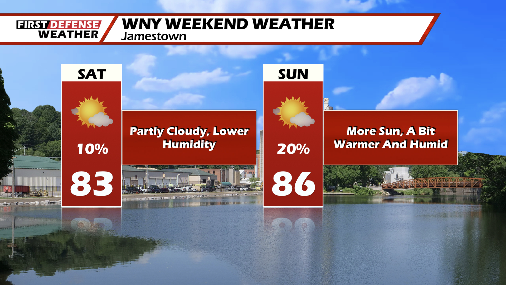
For Today, partly cloudy with highs in the lower to mid-80’s.
Tonight, mainly clear with lows in the upper-50’s. Some patchy fog may develope over night.
Tomorrow will be partly cloudy with highs in the upper-80’s.
Monday will be a hot and humid day with highs in the upper-80’s. A cold front will approach the region by mid-day Monday setting off showers and thunderstorms. These storms could be a bit on the stronger side with gusty winds and heavy rain.
Behind the cold front the remainder of the week will be mainly dry and cooler. Temperatures will run in the upper-70’s to low-80’s. Tuesday through Friday, there will be the small chance for a scattered shower or thunderstorm, but otherwise it will be dry as we close out the month of July.
WNYNewsNow is a proud Ambassador for the NOAA Weather-Ready Nation program.
![]()


Leave a Reply