JAMESTOWN – High Pressure will continue to dominate the regional weather through much of the upcoming week, with a slow gradual increase in temperatures.
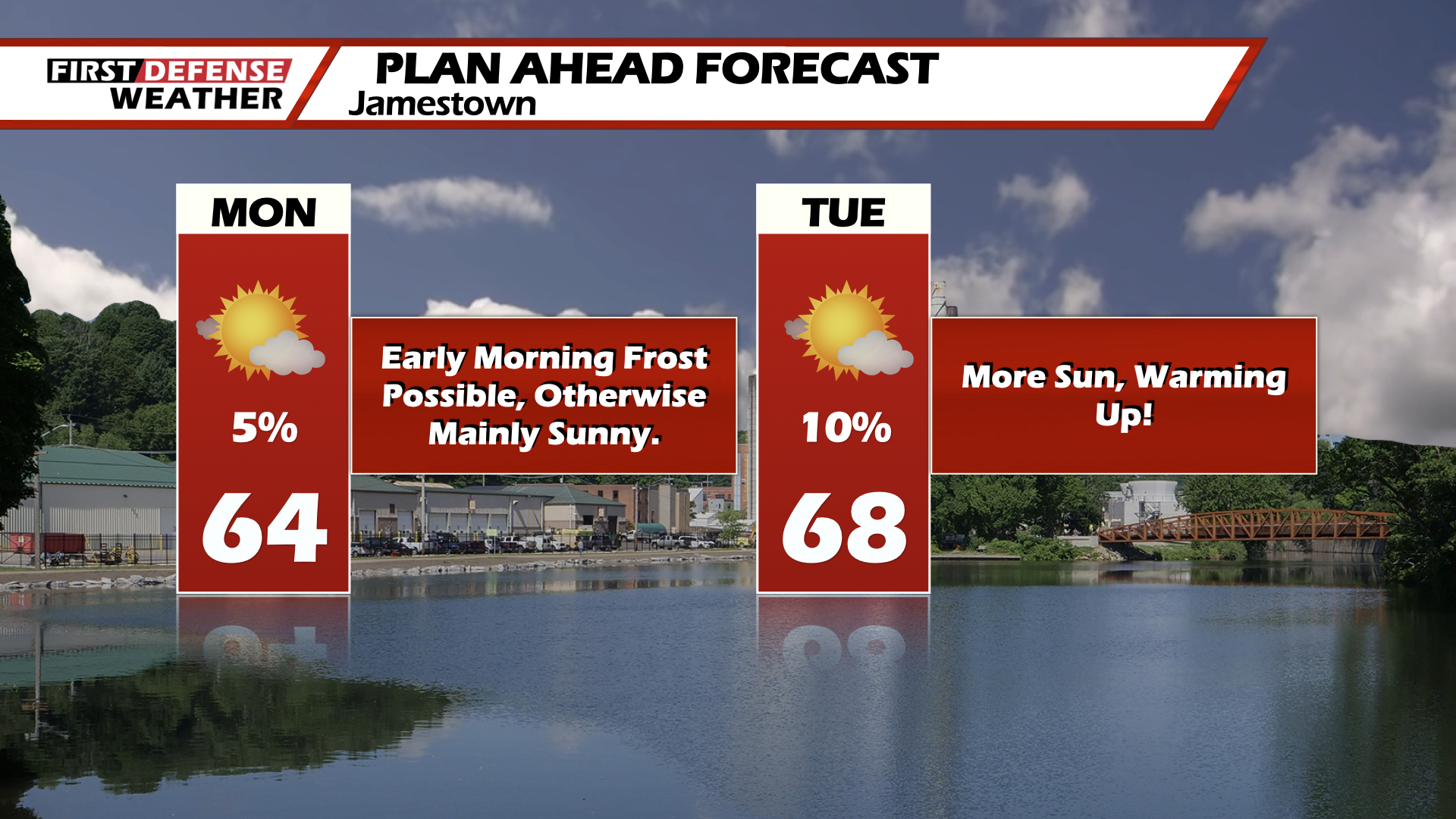
Today will be a repeat of yesterday, all-be-it a tad bit warmer. Sun filled skies with highs in the low-60’s.
Clear skies continue tonight with lows dropping into the low to mid-30’s. Frost and freeze advisories will more than likely be issued again.
Dry and sunny conditions look to hold steady through at least Wednesday. Highs in the mid-60’s for Monday and Tuesday, eventually reaching the low-70’s by Wednesday.
Looking to the end of next week, there is a slight chance of a shower for Thursday, otherwise the sunny weather looks to continue with highs rebounding into the mid-70’s
WNYNewsNow is a proud Ambassador for the NOAA Weather-Ready Nation program.
![]()


Leave a Reply