
App users, tap here to watch video.
JAMESTOWN – We’ll get a day of weather improvement come Wednesday with sun and clouds before the first snowflakes of the season could fly by the end of the week.
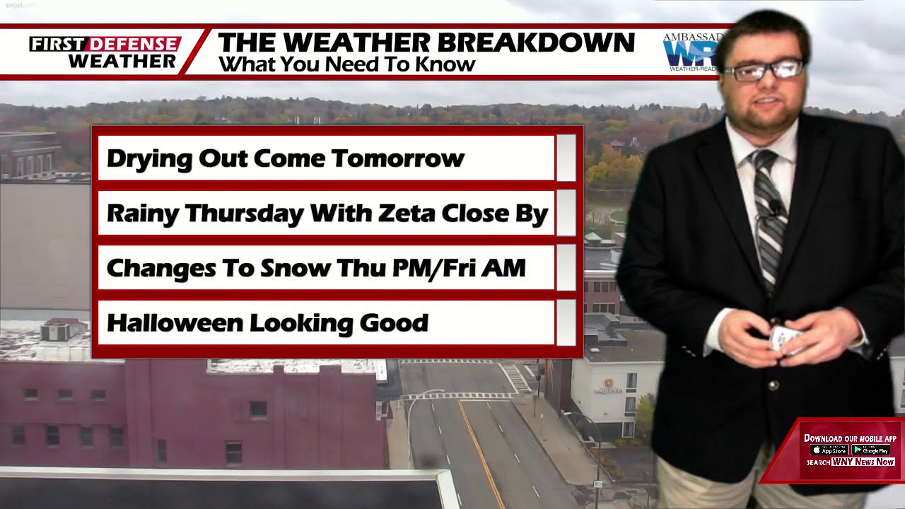
A weak low pressure area continues to bring showers to the region. This low will move out for Wednesday out ahead of the next system which could bring the Southern Tier its first snowflakes of the season by Friday morning.
Early rain showers tonight will taper off with cloudy intervals at times. Lows 36 in the valleys, 41 at the Lake Erie Shoreline.
Tomorrow will be an overall nice day with sun and clouds battling for the daytime sky. Highs 48 to 54.
As the remnants of Tropical Storm Zeta begin to work up the northeast, that will bring an influx of moisture back into the area creating some showers throughout the day on Thursday. Some of the rain could be tropical in nature with moderate downpours. Some model guidance is suggesting a good soaking across the region with rainfall totals potentially approaching one inch. Highs 43 to 52.
Colder air will start to filter in from the north and west as the remnants of Zeta move out to sea Thursday night. Computer guidance has been consistent in showing a changeover to wet snow later Thursday night into Friday morning across the Southern Tier.

There still remains uncertainty with regards to how strong the cold air forcing will be thus, accumulations are unknown at this point. It does appear that accumulation may be limited to the highest hills but cannot be ruled out across the lower elevations as well. Friday highs struggling to reach the lower 40’s.

High pressure returns for the weekend into early next week with a good supply of sunshine each day, fair nights, and highs in the lower 50’s.
WNYNewsNow is a proud Ambassador for the NOAA Weather-Ready Nation program.
![]()


Leave a Reply