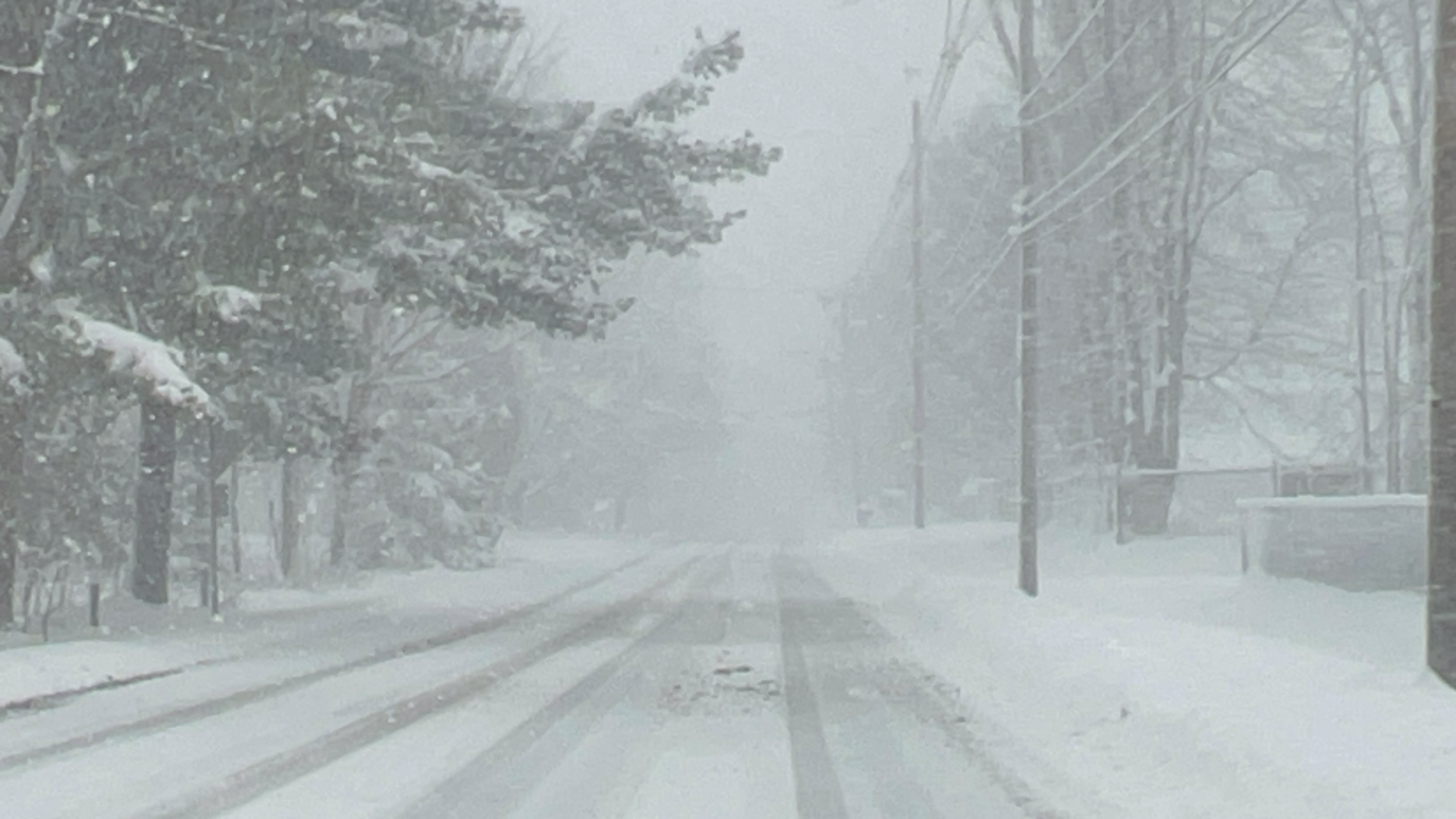
(WNY News Now) – BUFFALO, NY — December 3, 2024 — A Winter Storm Watch has been issued by the National Weather Service (NWS) Buffalo for Wyoming and Southern Erie Counties, in effect from Wednesday evening through late Thursday night. Residents should brace for heavy lake-effect snow, with potential accumulations exceeding seven inches, coupled with gusty winds up to 50 mph.

The NWS warns of possible blowing and drifting snow, creating dangerous travel conditions and significantly reduced visibility. Downed tree branches and isolated power outages may occur due to the strong winds.
This storm could result in rapidly changing road conditions within narrow snow bands, making localized travel particularly hazardous.
Key Impacts to Anticipate
- Snowfall: Accumulations over 7 inches in areas with the most persistent snow bands.
- Wind Gusts: Ranging from 45 to 50 mph, increasing risks of tree damage and snow drifts.
- Travel Disruptions: Reduced visibility, slick roads, and unexpected hazards.
Safety Tips for Residents
- Prepare Your Vehicle: Ensure your car is equipped with winter survival supplies.
- Limit Travel: Avoid unnecessary trips, especially during periods of intense snow squalls.
- Secure Loose Objects: Prevent wind damage by securing outdoor items.
- Monitor Updates: Stay tuned to local weather alerts for the latest developments.
The storm’s effects are expected to taper off by early Friday morning. However, its intensity and unpredictability underscore the importance of vigilance. Stay informed, prepared, and cautious as this winter weather system moves in.


Leave a Reply