(WNY News Now) – NWS Buffalo issues a critical Lake Effect Snow Warning for parts of Western New York, cautioning residents about heavy snowfall, gusty winds, and treacherous travel.
The National Weather Service (NWS) in Buffalo has issued a Lake Effect Snow Warning effective from 7 PM on December 4 to 4 AM on December 6 for Wyoming and Southern Erie Counties, and until 4 AM on December 7 for Chautauqua and Cattaraugus Counties. Residents should brace for 6 to 20 inches of snow in the most persistent lake-effect zones, accompanied by gusty winds reaching 50 mph.
Key Areas Affected:
- Wyoming and Southern Erie Counties: Greatest accumulations in the Boston Hills and western Wyoming County.
- Chautauqua and Cattaraugus Counties: Heaviest snowfall expected along the Chautauqua Ridge.
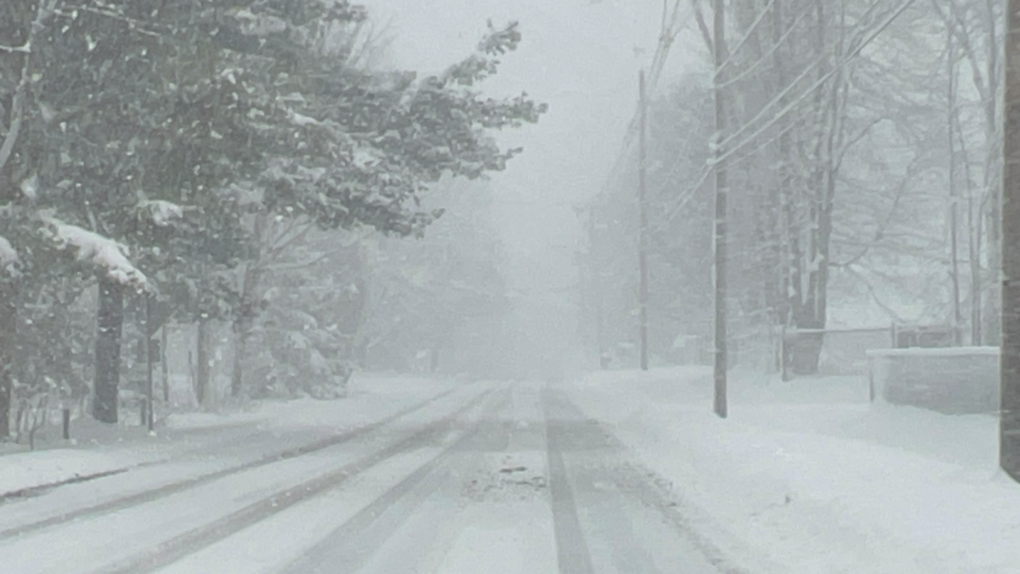
Impacts on Travel and Infrastructure:
Travel conditions will become hazardous, with blowing snow significantly reducing visibility. Morning and evening commutes on Thursday are expected to be severely impacted. Gusty winds may down tree branches, causing isolated power outages.
Rapid Weather Changes Expected:
Lake-effect snow often occurs in narrow, intense bands. Motorists and residents should prepare for sudden shifts from heavy snow and near-zero visibility to clearer conditions within a few miles.
Precautions and Instructions:
- Avoid unnecessary travel during the warning period.
- If traveling, keep an emergency kit in your vehicle and prepare for rapidly changing conditions.
- Submit snow reports via the NWS Buffalo website or social media to assist in monitoring conditions.


Leave a Reply