(WNY News Now) – The National Weather Service (NWS) Buffalo has issued a Winter Storm Watch for Wyoming, Chautauqua, Cattaraugus, and Southern Erie counties from Monday afternoon through late Wednesday night.
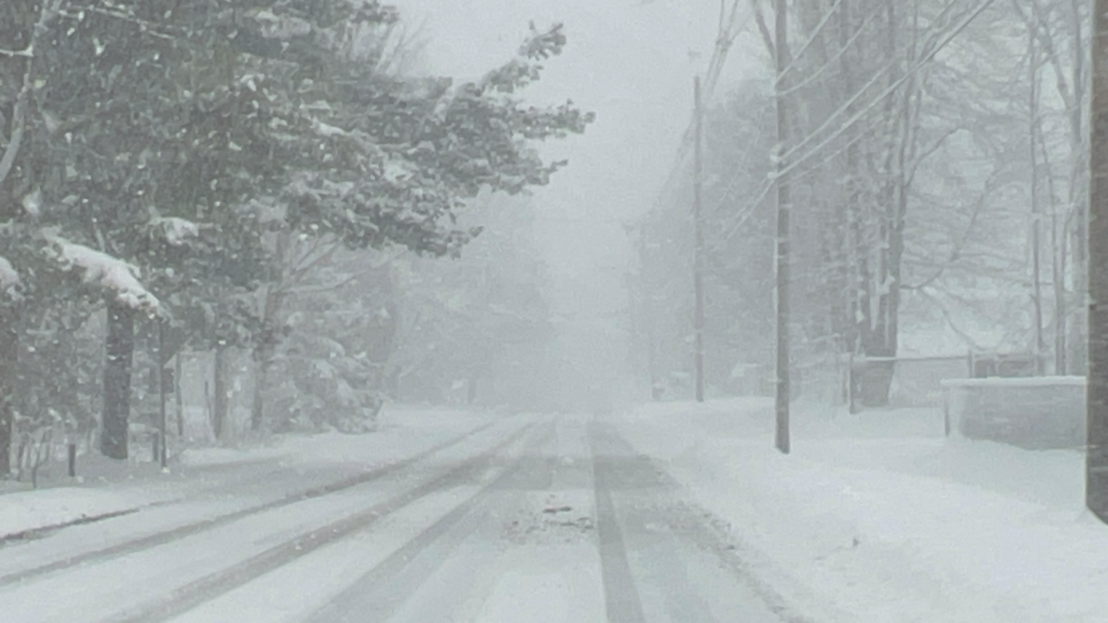
A significant winter storm is forecast to bring heavy lake-effect snow to parts of Western New York, with the potential for long-lasting impacts from Monday afternoon, January 13, through early Thursday morning, January 16. The storm could result in substantial snow accumulation and strong wind gusts reaching up to 35 mph, leading to blowing and drifting snow.
The affected areas include Wyoming, Chautauqua, Cattaraugus, and Southern Erie counties, where periods of heavy snowfall may alternate with clearer conditions. The National Weather Service highlights considerable uncertainty regarding the exact placement of snow bands and total accumulation amounts, but the potential for multiple heavy snow events remains high.
Impacts to Expect:
- Travel Conditions: Poor visibility and snow-covered roads may make travel extremely difficult.
- Rapid Weather Changes: Localized heavy snow bands may cause swift and significant changes in weather and road conditions.
- Blowing Snow: Gusty winds may lead to drifting snow and further reduced visibility.
Residents in the affected regions are urged to monitor updates from local authorities and prepare for rapidly changing weather. Travel plans should be adjusted accordingly, and extra caution should be exercised when driving in areas impacted by lake-effect snow.
During lake-effect snow events, conditions can vary significantly over short distances. It is critical to remain vigilant and prepared for sudden changes in visibility and road safety.


Leave a Reply