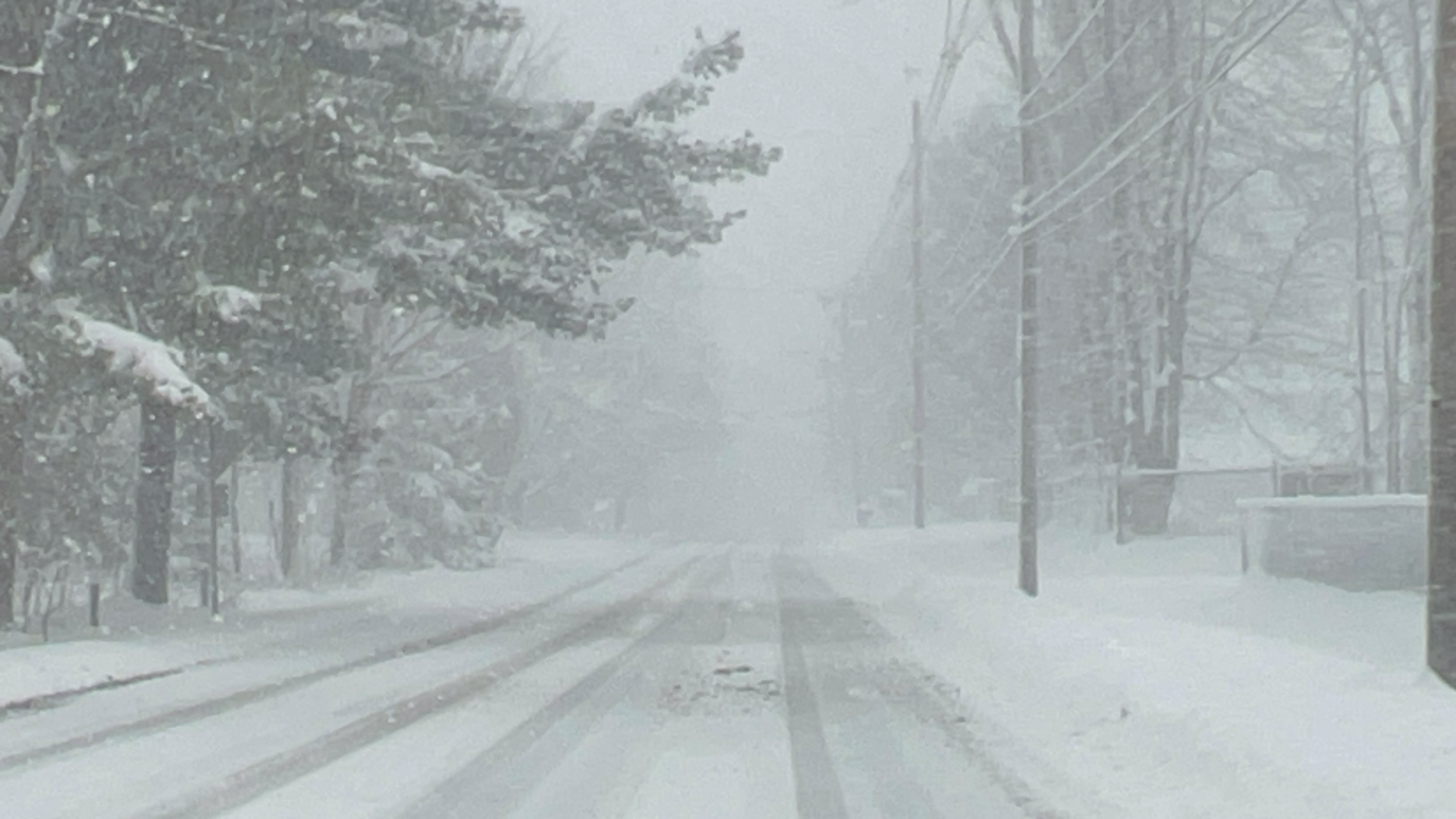
(WNY News Now) – The National Weather Service (NWS) Buffalo has issued a Winter Storm Watch from Saturday morning, January 18, through late Wednesday night, January 22, with heavy lake-effect snow anticipated in northern Erie and Genesee Counties.
A Winter Storm Watch is in effect for northern Erie and Genesee counties, issued by the National Weather Service Buffalo at 3:20 AM EST on January 18. The alert forecasts the potential for significant snowfall due to heavy lake-effect snow bands, particularly in areas stretching from Buffalo Southtowns to southern Genesee County.
What to Expect:
- Snow Accumulation: Periods of heavy lake-effect snow could lead to substantial accumulation, especially in the most persistent snow bands.
- Visibility Issues: Drivers may encounter greatly reduced visibility and deep snow-covered roads, making travel very difficult.
- Uncertainty: There is considerable uncertainty regarding the exact placement and intensity of the snow bands, but multiple periods of heavy snowfall are possible.
Timing:
The Winter Storm Watch will remain in effect from the morning hours of Saturday, January 18, through 1:00 AM on Wednesday, January 22.
Safety Precautions:
Residents are urged to prepare for rapidly changing weather conditions, which may shift from heavy snow with poor visibility to dry weather within a short distance. Travelers should remain cautious and check for real-time updates on road and weather conditions.


Leave a Reply