(WNY News Now) – The National Weather Service (NWS) in Buffalo, NY, has issued a Winter Storm Watch effective from late Tuesday night, January 21, through Friday morning, January 24, for parts of western New York, warning of potential heavy lake-effect snow.
The Winter Storm Watch covers Wyoming, Chautauqua, Cattaraugus, and Southern Erie Counties, where significant snow accumulations are possible in areas affected by persistent lake-effect snow bands.
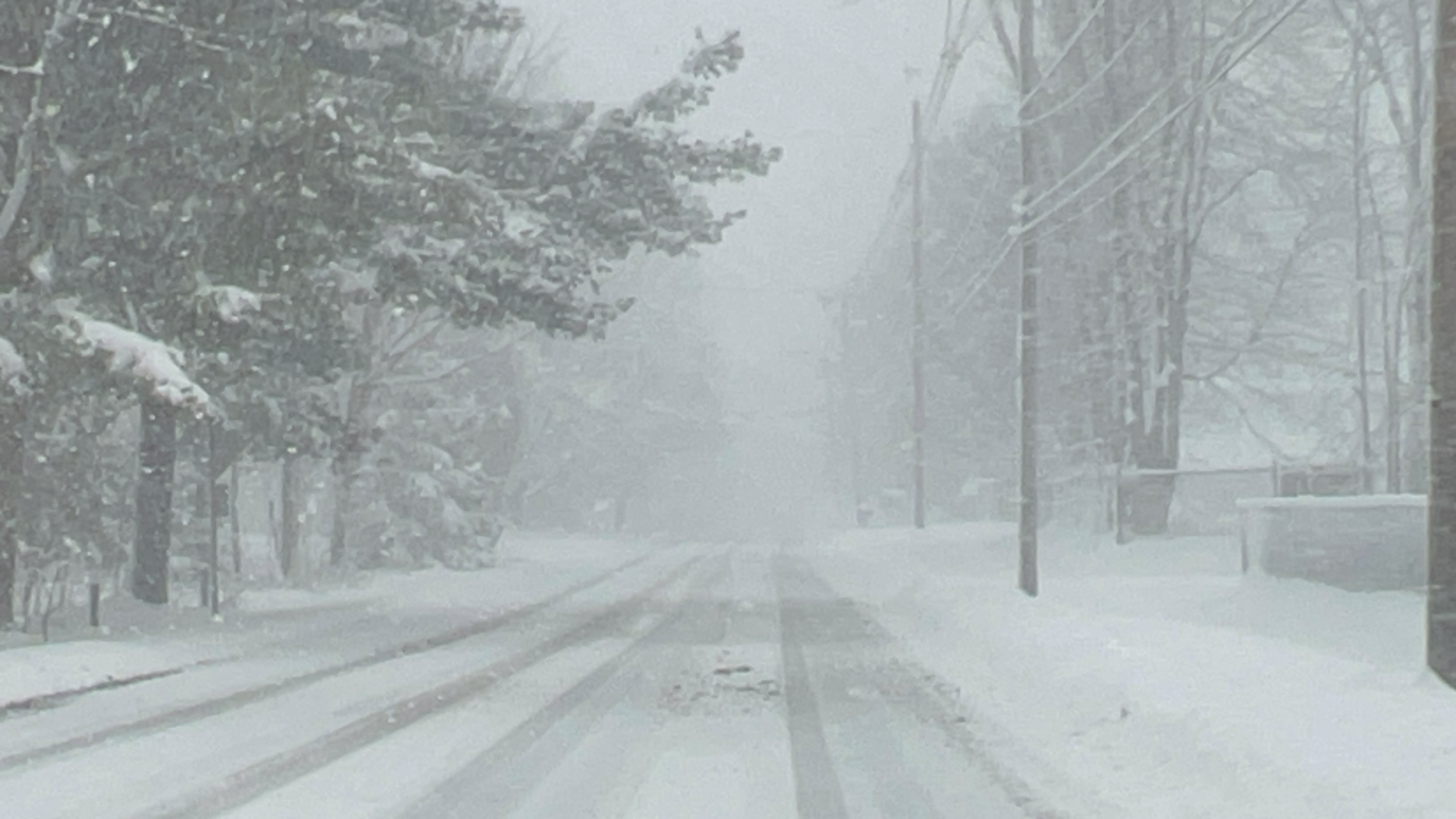
Forecasters caution that while exact snow totals and band placement remain uncertain, multiple periods of heavy snowfall are anticipated, making travel hazardous in the affected regions. Visibility may be drastically reduced in the heaviest snow bands, and roads could quickly become snow-covered and challenging to navigate.
The NWS advises residents to prepare for rapidly changing weather conditions, including sudden visibility reductions and slippery roads. While some areas may experience intense snowfall, locations just a few miles away could see significantly different conditions.
Key Impacts:
- Heavy snow could result in deep road accumulations and hazardous travel.
- Visibility in the hardest-hit areas may drop to near zero at times.
- Extended snow events could lead to disruptions in daily activities and commutes.


Leave a Reply