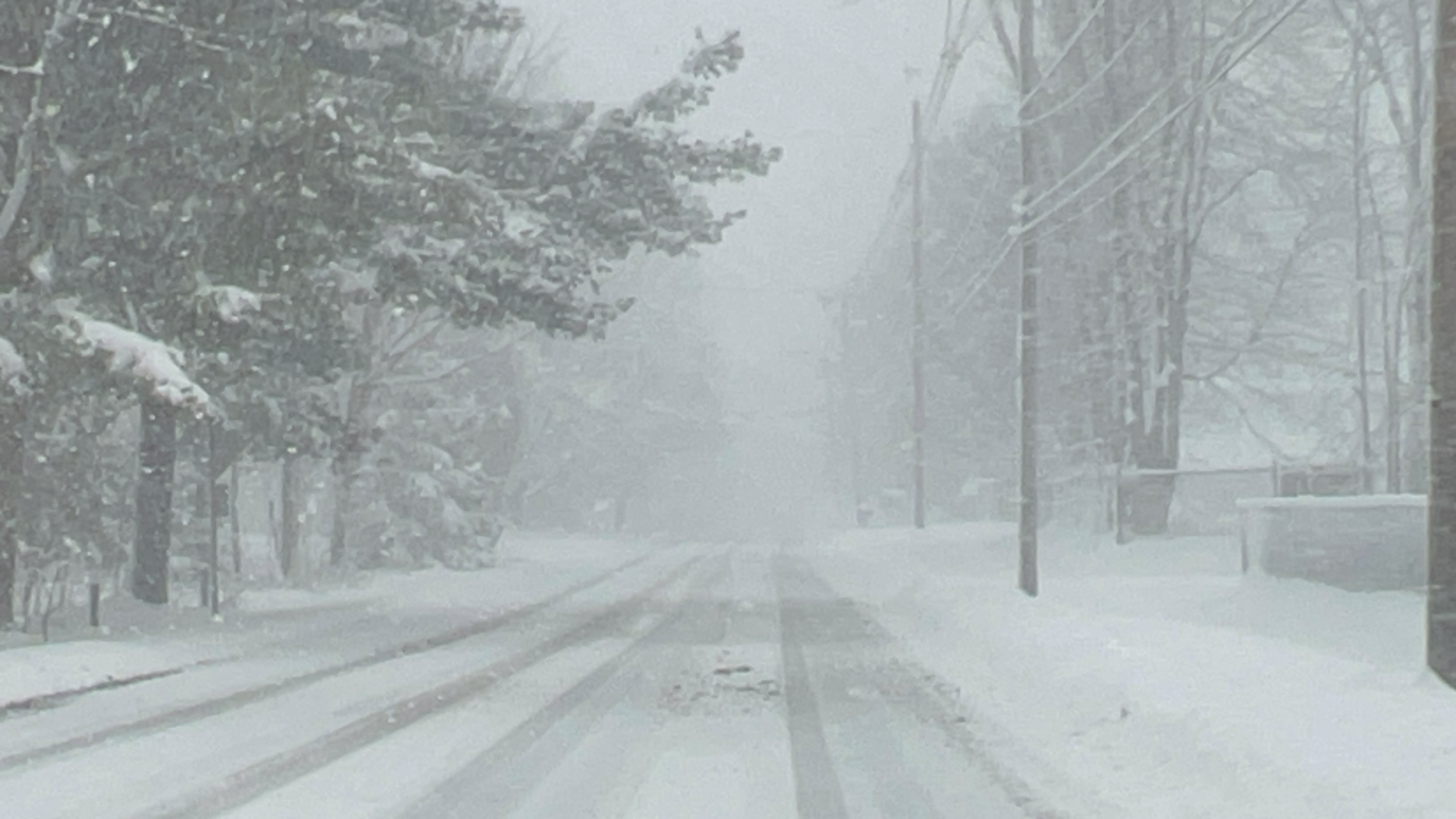
(WNY News Now) – The National Weather Service in Buffalo has issued a Lake Effect Snow Warning for several counties, with up to 20 inches of snow expected in certain areas.
A Lake Effect Snow Warning has been issued by the National Weather Service (NWS) Buffalo, effective from 7 PM EST Sunday, January 19, through 10 AM EST Wednesday, January 22. The warning includes Cattaraugus, Wyoming, Southern Erie, and Chautauqua counties.
Forecast Details
- What to Expect:
Heavy lake effect snow with total accumulations ranging from 10 to 20 inches in the most persistent bands. Wind gusts up to 35 mph may cause blowing and drifting snow, further reducing visibility. - Timing:
The heaviest snowfall is anticipated between Monday and Tuesday evening. - Areas Affected:
- Northern Cattaraugus
- Southern Erie
- Western Wyoming
- Chautauqua County
Travel Impacts
Travel conditions are expected to be hazardous, with very poor visibility and deep snow accumulation on roadways. Rapid changes in weather, visibility, and road conditions are possible, especially within snow bands.
Safety Precautions
- Avoid unnecessary travel during the warning period.
- Carry emergency supplies in your vehicle, including blankets, flashlights, and food.
- Stay updated with the latest weather reports and be prepared for sudden changes.


Leave a Reply