The Power of GPS in Smart Cities and Urban Planning
GPS (Global Positioning System) is essential for smart cities. It improves traffic flow, public transport, emergency response, and infrastructure planning. Cities use GPS data to manage congestion, track services, and optimize resources.
As urban populations grow, efficient city management becomes critical. GPS integrates with AI, IoT, and big data to enhance decision-making. This improves mobility, security, and sustainability.
How GPS is Changing Smart Cities
A smart city uses technology to enhance daily life. GPS tracking devices play a crucial role in this transformation. It helps cities:
- Manage Traffic Flow: Reduce congestion by analyzing real-time movement data.
- Optimize Public Transport: Provide accurate arrival times for buses and trains.
- Enhance Emergency Response: Ensure quicker dispatch of ambulances, firefighters, and police.
- Improve Infrastructure Planning: Use precise data for better road networks and city layouts.
- Monitor the Environment: Track air quality, climate changes, and energy consumption.
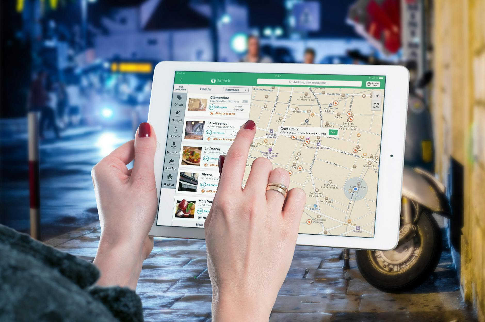
GPS in Traffic and Transportation
If you’ve ever used Google Maps or Waze to avoid a traffic jam, you’ve already seen GPS in action. Cities use this data to keep roads clear and traffic moving.
Real-Time Traffic Management
GPS collects live data from vehicles, traffic cameras, and sensors on the road. Traffic control centers use this information to adjust signals, manage congestion, and prevent bottlenecks.
Smart Traffic Lights
Some cities have traffic lights that change based on real-time vehicle flow. If there’s a heavy jam in one direction, GPS-enabled lights stay green longer to clear the road.
Public Transport Tracking
Buses, trains, and ride-sharing services like Uber and Lyft use GPS for navigation and scheduling. Passengers can check exact arrival times on apps, making commuting easier and stress-free.
Ride-Sharing and Micro-Mobility
Ever wondered how Uber knows where you are? GPS helps drivers find you, calculates the fastest route, and estimates fares. The same goes for bike-sharing and e-scooters, which rely on GPS for tracking and fleet management.
GPS in Emergency Response
When you’re in trouble, every second counts. GPS helps emergency services respond faster and smarter.
911 and Ambulance Dispatch
When you call 911, GPS instantly pinpoints your location. This allows dispatchers to send ambulances, firefighters, or police to you without delays.
Disaster Management
GPS helps track hurricanes, wildfires, and floods. Authorities can send alerts and guide people to safe zones using GPS-powered apps.
Crime Prevention
Police use GPS to track stolen cars, monitor high-crime areas, and plan patrol routes. It also helps with crowd control during large events.
Fire and Rescue Operations
During fires, GPS maps out escape routes and helps firefighters reach affected areas quickly. In remote areas, drones with GPS assist in locating missing people.
GPS in Urban Planning and Infrastructure
City planners don’t just rely on blueprints anymore. GPS data helps them design roads, bridges, and public spaces in a way that works best for people.
Smarter City Layouts
Urban planners analyze GPS data to determine where to build roads, parks, and buildings. This prevents overcrowding and makes cities more functional.
Better Infrastructure Maintenance
Governments use GPS to monitor roads, bridges, and utility lines. Drones with GPS inspect areas for cracks or damage, allowing for timely repairs.
Efficient Waste Collection
GPS guides garbage trucks on optimized routes, ensuring trash is collected faster and using less fuel. This reduces costs and improves sanitation.
Managing Utilities
Power grids and water systems use GPS to track demand and prevent outages. Smart meters analyze consumption patterns, helping cities save energy and water.
GPS in Environmental Monitoring
Cities need to be sustainable to fight pollution and climate change. GPS helps track and manage environmental issues.
Air Pollution Tracking
GPS-equipped sensors measure air quality in different neighborhoods. This helps cities take action against pollution by restricting high-emission vehicles and improving green spaces.
Climate Change Monitoring
GPS helps scientists monitor rising sea levels, temperature changes, and deforestation. This data is crucial for planning flood defenses and conservation efforts.
Smart Agriculture
Even urban farms use GPS! Farmers track soil moisture, automate irrigation, and reduce water waste. This leads to better crop yields and greener cities.
Challenges of Using GPS in Cities
GPS is powerful, but it’s not perfect. Here are some challenges cities face when using it:
Privacy and Security Risks
Real-time tracking raises privacy concerns. Governments must ensure GPS data is protected from hackers and used responsibly.
Signal Interference
Tall buildings, tunnels, and weather conditions affect GPS accuracy. Some cities use Augmented GPS (AGPS) to improve signal strength.
High Costs
Building a smart city with GPS-based systems is expensive. Not all countries can afford to implement this technology everywhere.
Integration Issues
GPS needs to work well with AI, IoT, and big data systems. If these technologies don’t communicate properly, smart city initiatives may fail.
The Future of GPS in Smart Cities
The future looks exciting! With advancements in 5G, AI, and satellite technology, GPS will become even more powerful.
5G Will Boost GPS Accuracy
5G networks will make GPS faster and more reliable. This will help in real-time traffic control, autonomous cars, and smart city projects.
AI-Powered City Planning
Artificial Intelligence (AI) will analyze GPS data to predict traffic patterns, prevent congestion, and plan better city layouts.
Self-Driving Vehicles
Autonomous cars rely on GPS for navigation. As GPS becomes more precise, self-driving taxis and buses will become more common.
Smart Satellite Monitoring
New satellite GPS tracker will provide even better coverage. Cities will use satellite data for disaster management, environmental protection, and urban expansion.
Conclusion
GPS is making cities smarter by improving traffic flow, emergency response, and infrastructure planning. It helps city planners make better decisions, reduces congestion, and improves public safety.
With advancements in AI, 5G, and satellite tracking, GPS will become even more accurate and reliable. This means faster commutes, better emergency services, and more sustainable urban living for everyone.


Leave a Reply