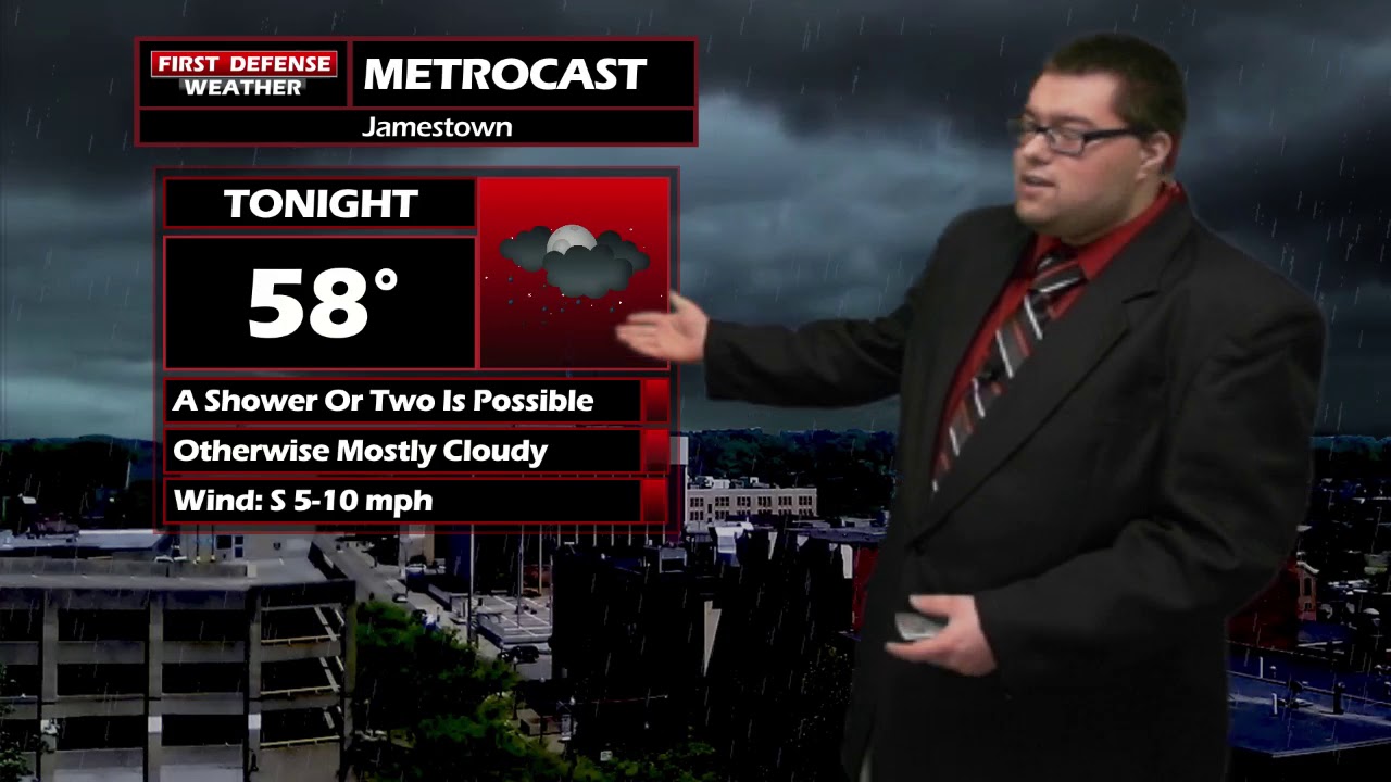
JAMESTOWN – A Warm front has passed on through and that will spike temperatures well into the 70s for this afternoon but some rain will be returning over the next few days.
There is a chance for a thundershower or two through the afternoon as some rain spills in behind the front. However, the rain is hitting into some drier air so a lot the rain being ripped apart. We’ll keep the chance in there as many of the higher-resolution models are hitting at a couple making it through.
The good news here is this will be a quick hit and done type of deal and not everyone will see that rain shower. Once it’s gone, the remainder of the afternoon will be dry.
More scattered to widespread rain will come our way on Friday with the next frontal system. There could be a couple embedded thunderstorms Friday afternoon as well. We do not expect any severe weather problems with this feature.
Easter Weekend: As we’ve been talking about all week, Saturday is looking to be the wettest day of the weekend. Widespread rain will be the story throughout the day. Current guidance has continued showing this rain becoming a soaking rain with areas picking up about an inch of rainfall just on Saturday.

We have upped the rain chances on Sunday slightly but don’t that discourage you; the majority of the day will be useable with hit and miss showers from time to time throughout the day. Both days will see highs in the 50s and light winds.
We will keep limited rain chances going into next week with temps saying spring-like through the week.

Storm Spotter Training: The National Weather Service in Buffalo will be conducting their first ever online training class on Tuesday, May 2 at 7:00 PM. For the online training, you do need to preregister as spots for the online are limited. You can register your spot a http://www.weather.gov/buf/skywarn

Attendees will learn many topics to becoming a trained storm spotter, such as identifying storm structure, basic meteorology relating to severe convection (severe thunderstorms, tornadoes, etc), severe weather safety, and proper reporting techniques.
I encourage everyone to attend a training session; we are in desperate need of more trained spotters. What many people may not know is that spotters actually contribute to the warning process. Remember, Doppler radar looks above the ground; it’s only spotters who see what is happening down at the ground.
WNYNewsNow is a proud Ambassador for the NOAA Weather-Ready Nation program.
![]()


Leave a Reply