JAMESTOWN – A deep storm system passing to the west of the region in the Upper Great Lakes will produce showers and thunderstorms across the area late this afternoon and evening with the potential to produce a flood concern.
With us being on the eastern side of this system, a Warm front is pushing through early this afternoon. The front will spike temperatures well into the 70’s for everybody with the Lake Erie shore communities flirting with 80.

The NOAA Storm Prediction Center has outlined western Erie County, PA under a less than average Marginal Risk (1/5) for severe thunderstorms late this afternoon.

There is also a Marginal Risk defined for areas eastward in the Southern Tier Friday morning.

The primary factor in these storms is going to be the very heavy rainfall but the potential does also exist for some limited gusty winds in a couple storms.

Rain and storms will continue into Friday morning, coming to an end by the afternoon hours with mostly cloudy skies. A Cold front will move through tomorrow, dropping temperatures throughout the day. Highs in the mid 60’s will occur early on Friday, ending the day in the lower to mid 50’s.
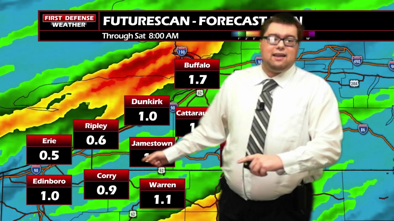
Newer model runs are now pointing the heaviest amounts of the rain to our north in the Niagara Frontier. However, models are still suggesting rain totals between a half inch to over one inch by Friday afternoon. With that amount of rain coming in a short amount amount of time, that does elevate the flooding potential across low-lying and poor drainage areas.

Saturday will be the pick day of the weekend. Partly sunny but cooler with temps in the mid to upper 50’s,
Mother’s Day is looking rather wet and chilly with scatted rain showers and highs in the lower 50’s. Below average weather will continue into next week with limited chances of rain.

WNYNewsNow is a proud Ambassador for the NOAA Weather-Ready Nation program.


Leave a Reply