JAMESTOWN – A stalled front south of the region is acting as a boundary to produce a few scattered showers across the Southern Tier today and tomorrow However, a heavier and more widespread rain is in the cards for Thursday with the potential for areal flooding.
While some peaks of sunshine are possible this afternoon, there is a limited chance for a shower or two across the Southern Tier. High will range from 70 near the Lake Erie shoreline to 77 inland.
Partly to mostly cloudy skies will take us through tonight with temps only slipping back to the upper 50’s to around 60 degrees.
Tomorrow will be another rinse and repeat kind of day. Scattered showers through the day with periods of dry time. Highs will be a tiny bit warmer, nearing 75 in the city.
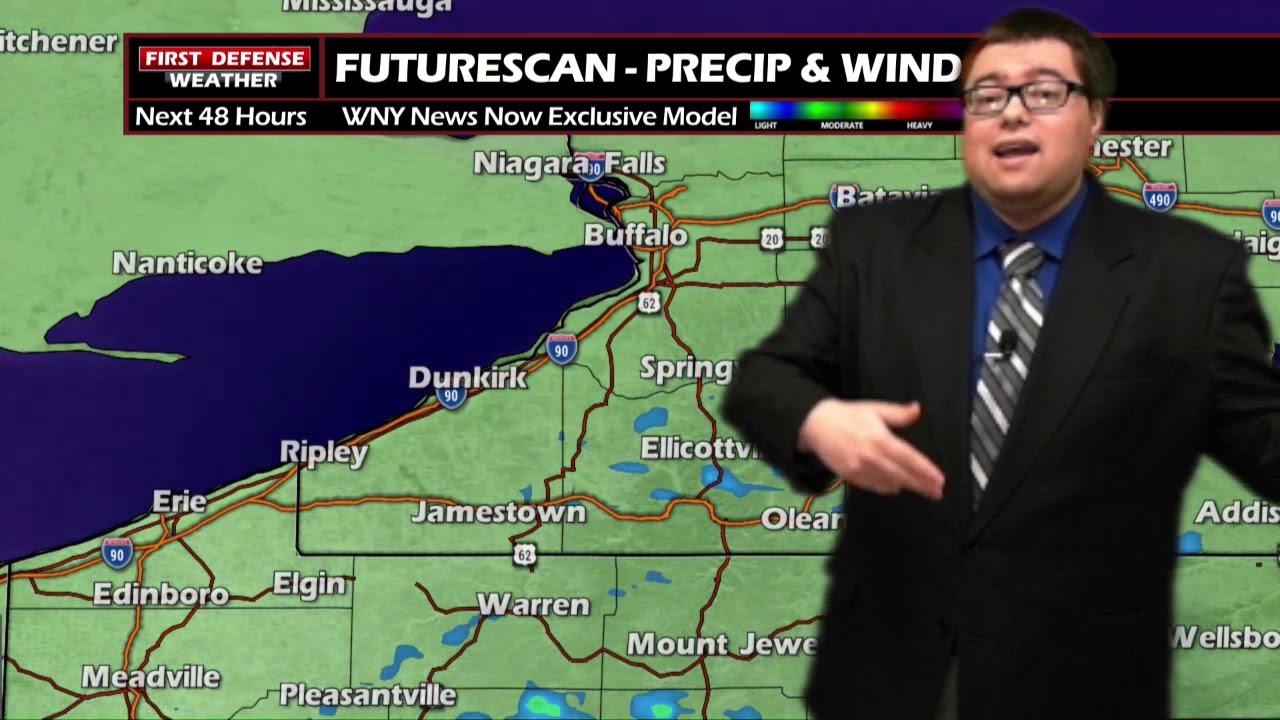
We are continuing to monitor Thursday as a deep area of Low pressure will track through the region. This system will produce widespread rain Thursday and Thursday night, picking up in intensity through the day.
This system does have the potential to bring a flooding risk to the area with model guidance still indicating around one and a half inches to nearly two inches of rainfall across the area by Friday morning.

WNYNewsNow is a proud Ambassador for the NOAA Weather-Ready Nation program.
![]()


Leave a Reply