App users, tap here to watch video
JAMESTOWN – The hot and muggy stuff will be making a return as we go throughout the reminder of the week with increasing rain chances through the weekend.
An area of high pressure has built in across the Ohio River Valley, bringing the region rather nice weather over the next couple of days. As the high scoots out on Thursday, showers and thunderstorms will be likely through the day with popcorn storms possible through early next week.
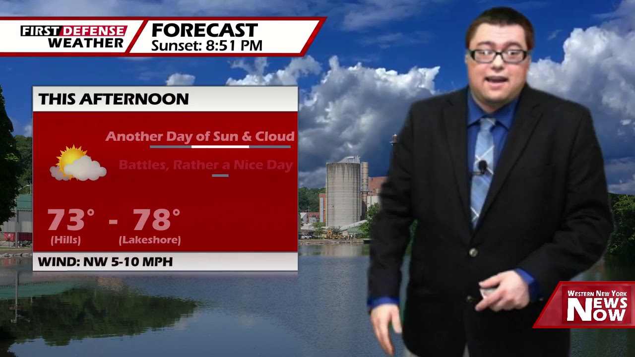
Partly cloudy skies tonight with patches of river valley fog likely developing overnight. A quiet night. Lows 55 in the valleys to 64 at the Lake Erie shoreline. Light winds.
After early morning fog burns off tomorrow, we’ll have a great supply of sunshine to go around with temperatures much milder and moderate humidity. Highs 81 to 86.
Our next storm system will move through the area on Thursday bringing with it a chance for numerous showers and thunderstorms through the day. The NOAA Storm Prediction Center has placed all of Western New York and Northwestern Pennsylvania under a low-end Marginal Risk, a level 1 out of 5, for severe thunderstorms Thursday.

The main threats with storms will be brief gusty winds and heavy rainfall.
The heat and the humidity is on after that as temperatures will be hovering in the mid to upper 80’s on Friday and through the weekend. While each day we do have a 25 to 40 percent chance of widely-spaced afternoon showers and thunderstorms, not a single day is a total stub with plenty of sunshine and dry time.

WNYNewsNow is a proud Ambassador for the NOAA Weather-Ready Nation program.
![]()


Leave a Reply