JAMESTOWN – The same pattern we have been stuck in over the past several days will continue through mid week, bringing with it periods of rain and below average temperatures.
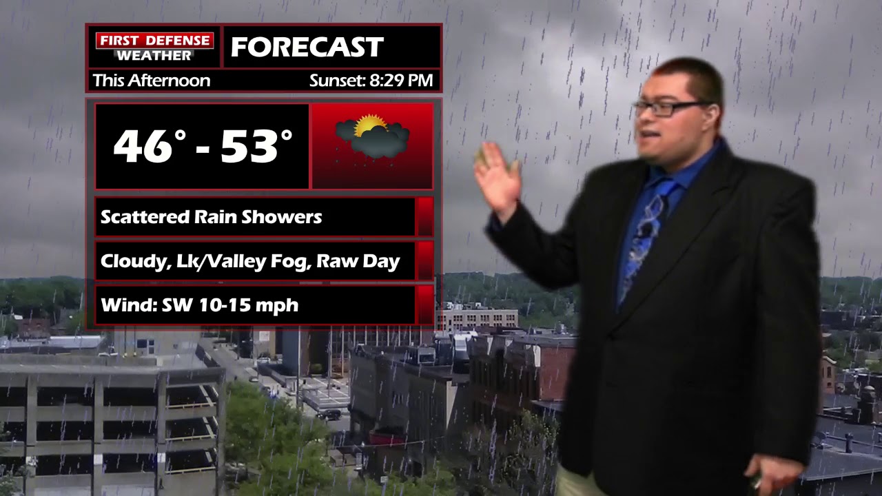
Expect on again, off again rain showers through the afternoon today with some breaks in between. However, do not expect to see any sunshine within those rain breaks; the clouds will win out the day. Most areas will run near 20 degrees below average; stuck in the upper 40’s.
Those rain showers continue throughout the night tonight with some patchy Lake Erie and River Valley fog setting up by morning.
Tomorrow will essentially be a rinse and repeat of today; on again, of again showers with temperatures remaining in the upper 40’s.
A warming trend will begin on Wednesday and that will take us through the weekend. Temperatures will once again make it back into the 60’s, much closer to where we should be this time of the year, with a short-lived High moving in on Thursday.

Over the weekend, computer models were in agreement that temps would soar to near 80 degrees on Saturday. However, that doesn’t seem to the be case on the newest runs. Guidance is now suggesting a Cold front will sag from north to south across the region, keeping temps around average in the upper 60’s.

WNYNewsNow is a proud Ambassador for the NOAA Weather-Ready Nation program.


Leave a Reply