JAMESTOWN – A few popup showers and storms are possible early this afternoon especially near the State line but the majority of the day will be dry with a good supply of sunshine. The better rain chances come later in the week.
The NOAA Storm Prediction Center has outlined all of Western New York under a less than average Marginal Risk (level 1/5) for severe thunderstorms through this afternoon. While the overall rain coverage will be spotty, the potential does exist for a storm or two to contain gusty winds.

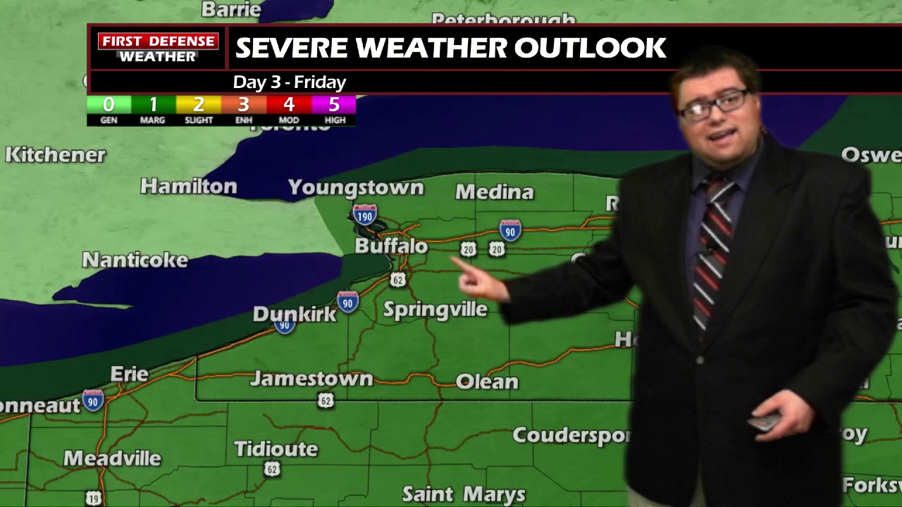
SPC has the region under a Marginal Risk again for Friday afternoon with the primary threat once again being gusty winds.

It will remain quite humid and muggy through much of the week. Some limited relief will come our way early next week with cooler temps and lower humidity. However, longer range guidance suggests we are right back into the warmth and humidity before the Independence Day weekend.

WNYNewsNow is a proud Ambassador for the NOAA Weather-Ready Nation program.
![]()


Leave a Reply