App users, tap here to watch video.
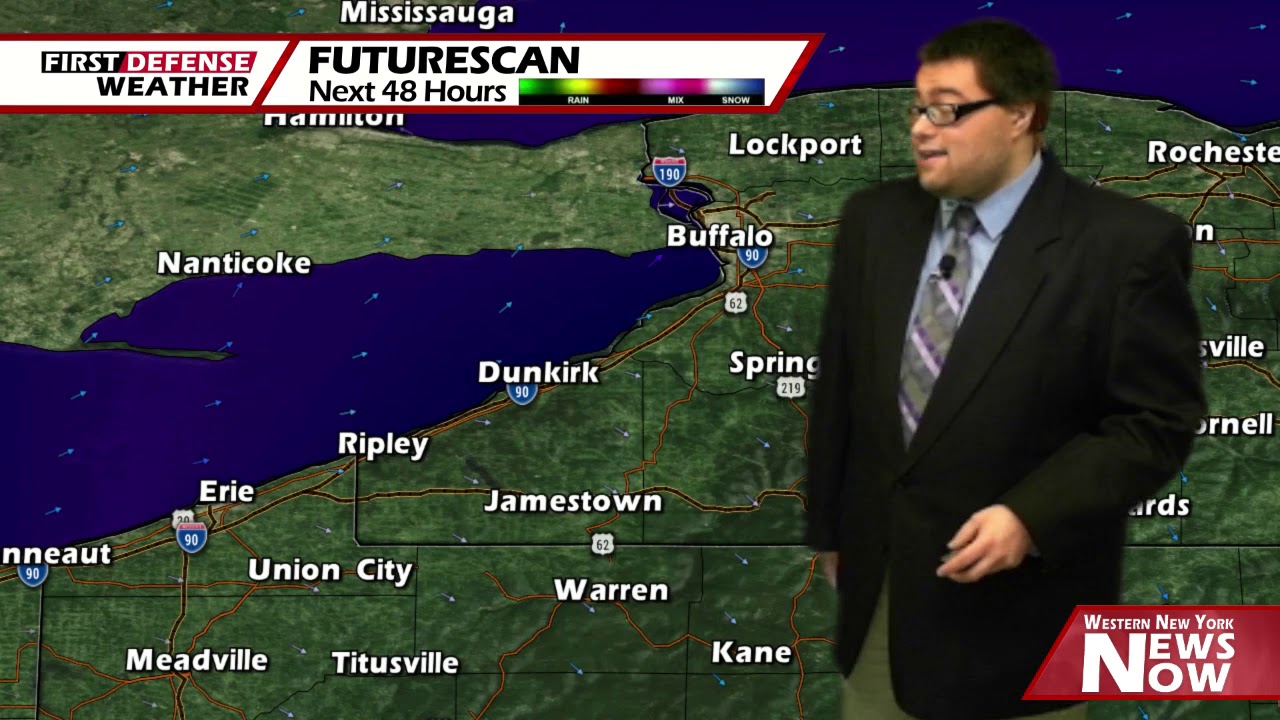
JAMESTOWN – We’re still stuck in the refrigerator for today with some partial afternoon clearing on the way. Rain will return tomorrow before turning a bit warmer again over the course of the upcoming week.
Scattered snow showers will continue through late morning before coming to an end as the storm system impacting the region over the past 24 hours continues to move away from the region. It will be breezy with wind gusts possibly up to 30 MPH.
The clouds will likely part this afternoon leading to partly if not mostly sunny skies. Highs will range 38 on the hills to 44 near the Lake Erie shoreline.
We should be in good shape tonight for some stargazing with partly to mostly clear skies. However with a southernly wind, that will prevent the temperatures from falling off a cliff by morning. Lows 33 valleys, 36 lakeshore. Breezy with gusts up to 30 MPH.
A boundary will become the focal point for some on again, off again rain showers through the day on Sunday with high back into the mid 50’s for most areas. The breeze will also tick up a bit through the day with gusts possibly reach 40 MPH at times.

An area of high pressure will return to the region on Monday providing a good supply of sunshine and highs in the lower 50’s.
We’ll be brushed by a system moving north of us through Canada on Tuesday with the potential for some rain showers that might be mixed with some wet snow early in the day. Highs in the lower 50’s.
Both Wednesday and Thursday will be mainly dry with a 30 to 40 percent chance of a scattered rain shower with highs in the mid to upper 50’s.
WNYNewsNow is a proud Ambassador for the NOAA Weather-Ready Nation program.
![]()


Leave a Reply