App users, tap here to watch video
JAMESTOWN – We may officially be in meteorological fall but summer is not yet giving up with some warmth and humidity through the middle of the week with a few opportunities for some showers.
We’ll have a series of fronts moving our direction over the next few days which will first bring an influx of moisture and humidity to the region once again. However, some cooler air will be moving in towards the weekend and likely stay with us throughout early next week.
Tonight will start dry with a good amount of cloud cover. A couple showers will be possible after midnight while remaining mild and muggy. Lows 64 in the valleys, 71 at the Lake Erie shoreline.
Occasional to widespread showers and a couple thunderstorms will be likely on Wednesday while remaining quite muggy. Highs 75 to 84.
We’ll keep a chance for for few scattered showers on Thursday with partial sunshine in between. Quite muggy. Highs in the lower 80’s.
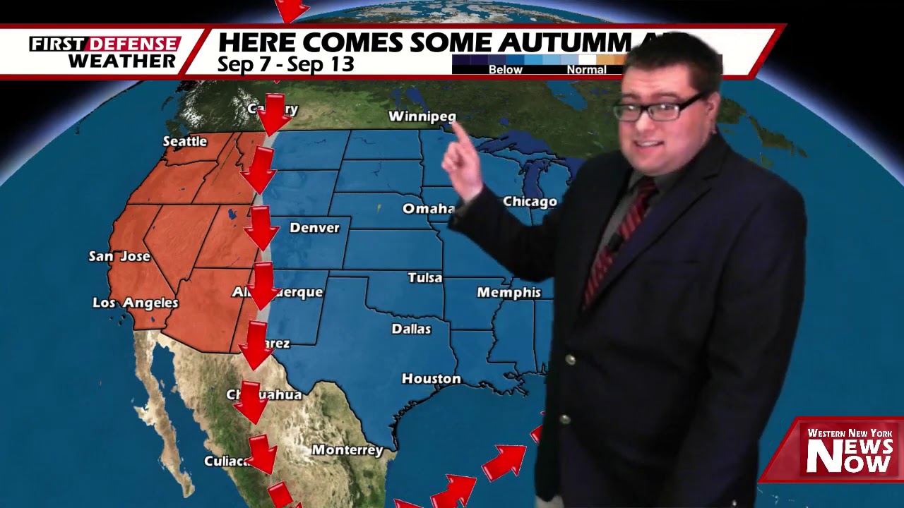
As we head into Friday, a deep upper trough will dig into much of the county, bringing in much cooler and refreshing air equating out to a prolonged stretch of fall-like weather.

Sunshine will rule through the weekend with highs in the lower to mid 70’s each day.
As it stands right now, Labor Day is looking rather useable with only a small chance for a shower and highs in the lower 70’s.
WNYNewsNow is a proud Ambassador for the NOAA Weather-Ready Nation program.
![]()


Leave a Reply