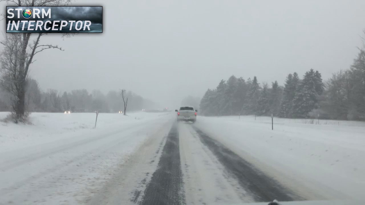
JAMESTOWN – Arctic cold temperatures will proceed a blast of winter weather in Western New York this weekend and into Monday.
The National Weather Service in Buffalo has issued a Wind Chill Advisory and Winter Storm Watch for Chautauqua, Cattaraugus, and Allegany counties; along with many other areas across our region.
The frigid cold is expected from 6 p.m. Friday to 1 p.m. on Saturday. Forecasters are calling for very cold wind chills as low as 20 below zero.
As for snowfall, the Winter Storm watch runs from Sunday evening into Monday afternoon. During that time, heavy snow is possible with accumulations of 9 inches or more likely.
Winds could gust as high as 35 m.p.h. impacting visibilities on are roadways.
To prepare for the storm, officials say if you must be outside, be sure to cover all exposed skin. Frostbite can occur in 30 minutes or less with apparent temperatures of 15 below zero or colder.
Viewers with weather related photos or videos are encouraged to share them with our team on social media using #MyLocalWx or submit them directly via email to NewsDesk@WNYNewsNow.com, on Facebook Messenger, Instagram and Twitter direct message.


Leave a Reply