(WNY News Now) – BUFFALO, NY – The National Weather Service (NWS) in Buffalo has issued a Lake Effect Snow Warning, effective from 10 a.m. Monday, January 20, until 4 a.m. Wednesday, January 22. The warning forecasts heavy snowfall for northern Erie and Genesee counties, with total accumulations expected to range from 8 to 16 inches in the most persistent snow bands.
What to Expect
The heaviest snowfall is anticipated between late Monday afternoon and Tuesday. The warning specifically highlights areas from South Buffalo and the Buffalo Southtowns extending eastward across southern Genesee County.
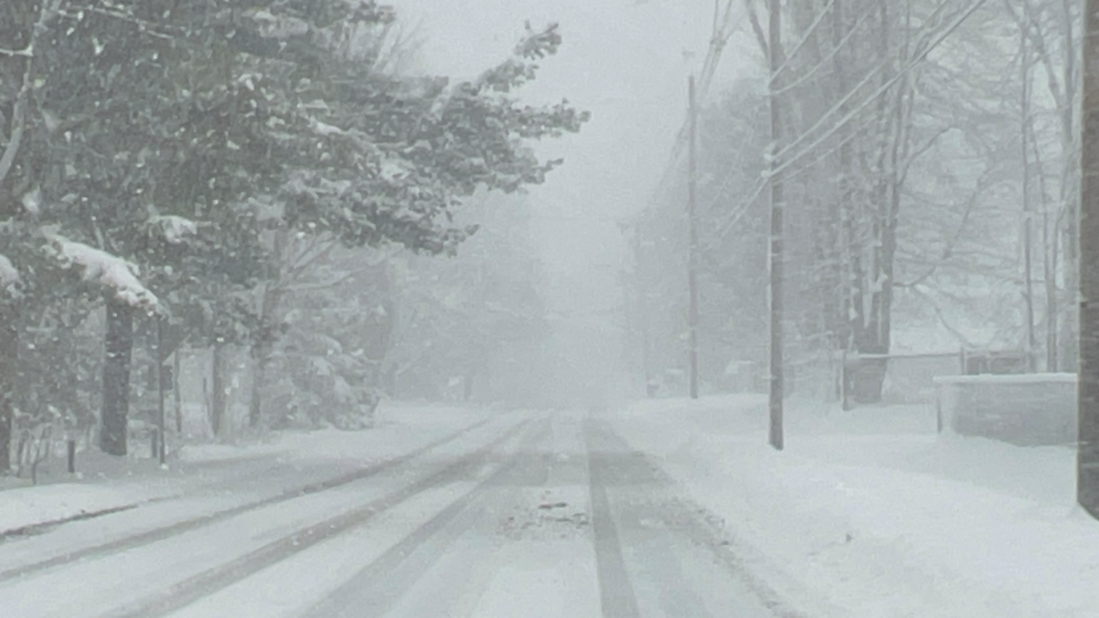
Travel conditions are expected to deteriorate rapidly during this time, with very poor visibility and deep snow cover on roads. The NWS advises residents to be prepared for sudden changes in weather and road conditions, as lake effect snow can create localized and intense snowfall bands.
Safety Precautions
Motorists are urged to exercise extreme caution if travel is necessary during this period. Ensure your vehicle is equipped for winter conditions, including having an emergency kit, full fuel tank, and proper tires. Residents are encouraged to avoid unnecessary travel and to monitor updates from the NWS and local authorities for changing conditions.
Stay Informed
Weather conditions during lake effect snow can vary dramatically over short distances. Areas experiencing heavy snow may see drastically reduced visibility, while locations just a few miles away could have clear skies.


Leave a Reply