JAMESTOWN – High pressure has built in across the region leading to some nice sunshine for this Monday. However, things will rapidly change as we progress throughout the week.
The chance does exist for some lake snow showers tomorrow but the chance is rather small; 20 to 25 percent at most. Any snow that falls will be very insignificant in nature. Less than an inch for most areas.

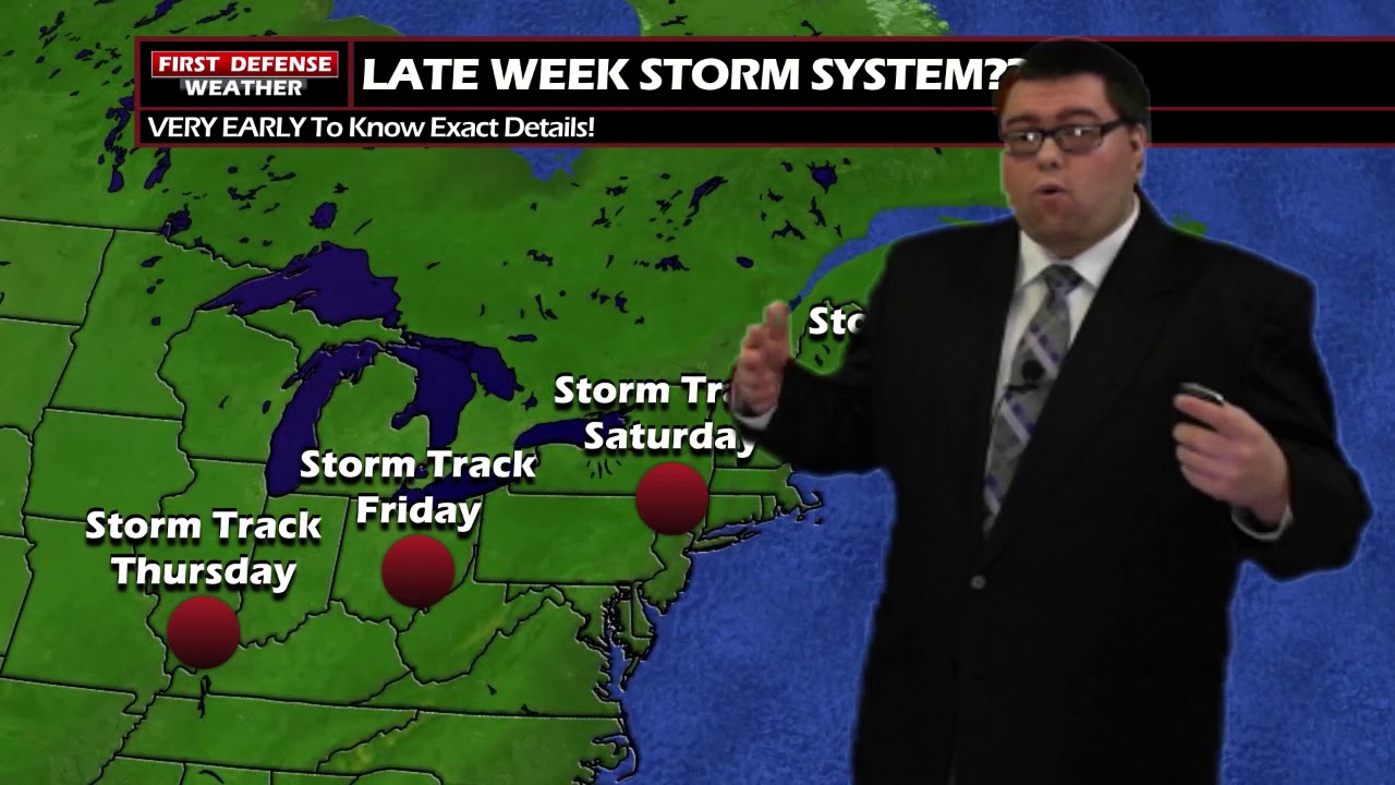
We are keeping our eyes on a potential East Coast storm system that could impact Western New York during the second half of the workweek.
While the exact placement of the storm track is still unknown at this point, middle ground seems to be met with this system moving through the Ohio River Valley and working is way up the East Coast.

We are still too far out to know what kind of impacts we could see from this system, if any, and there are all kinds of probable solutions being spit out by the computer models. Anybody’s guess is as good as any other at this point in time.
This will be something we will monitor will close eyes as we get new data in throughout the week.
A deep upper tough will take over by the weekend, allowing very cold Arctic air to be pickup by the Jet Stream and dumped across the eastern half of the country.

For Western New York, we’re talking the coldest air we’ve seen so far this winter. We will struggle to reach double digit highs next Sunday! Yikes!
WNYNewsNow is a proud Ambassador for the NOAA Weather-Ready Nation program.
![]()


Leave a Reply