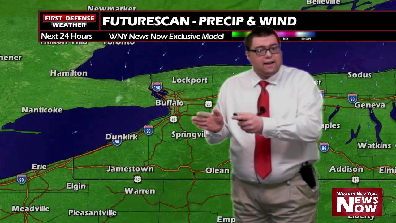
JAMESTOWN – A storm system that is moving through the region will continue to produce widespread snow through the next 18 or so hours.
The National Weather Service maintains the Winter Weather Advisory for all of Western New York until 10 PM this evening. A Winter Weather Advisory remains in place for Warren County, PA until 1 AM tomorrow morning as snow could linger a little longer down in the northern tier of PA.

After a little lull in the activity early this afternoon, snow will start back up through the middle of the afternoon, becoming moderate in intensity. The storm system will begin to pull away throughout the night with High pressure building in for Thursday and Friday.
Most of the computer models in the weather center have been right in line with projected snowfall totals ranging between 2 to 5 inches with some amounts up to 6 or 7 inches on the hills of the Southern Tier. Shovels will be needed for tomorrow morning.

However, more arctic air is on thew way. The NOAA Climate Prediction Center has much of the Great Lakes under an 80 t0 90% chance for below average temperatures over the next 6 to 10 days and a 60 to 70% chance for believe average temperatures over the next 8 to 14 days.


It might not be until mid-March when we’ll start to see some spring-like weather, based on long-range model guidance but that is not set in stone.

WNYNewsNow is a proud Ambassador for the NOAA Weather-Ready Nation program.


Leave a Reply