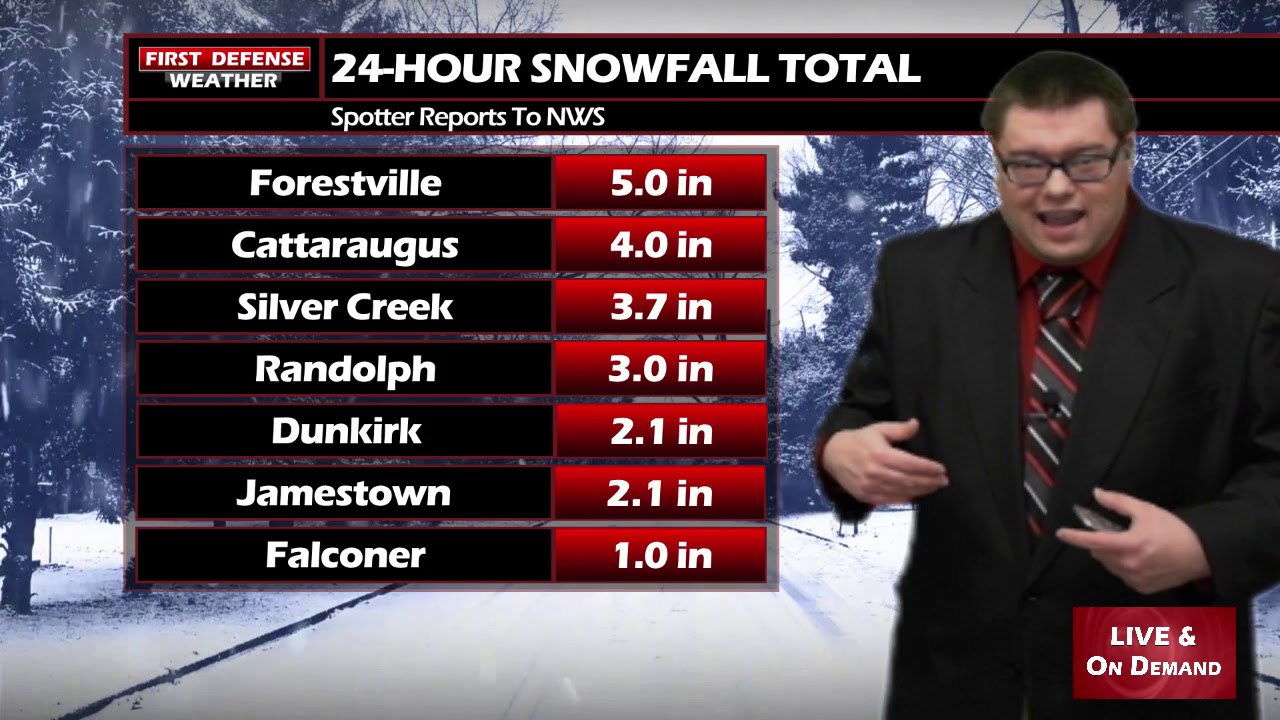
JAMESTOWN – The storm system that has impacted the region over the past 24 or so hours has since moved on out to the east and we’re left with a few leftover snow showers through the afternoon.
While there will be some breaks in the cloud cover today in between the snow flakes, that will not help in the temperature department. We will still be stuck into the 20s throughout the afternoon.
A weak system will be moving through the region on Tuesday and Wednesday producing a few more accumulating snow showers. A couple patches of open water on Lake Erie could be just enough to slightly enhance some of those snow showers.
We’re not expecting anything major out of this; maybe another 1 to 3 or 2 to 4 inches in spots. Just enough to freshen up the snow packs around the region.

This system will also drag in some harsh polar air across Western New York, bringing temperatures down into the teens and overnight lows into the single digits. Just for comparison, the average high this time of the year is 40. Ouch.
However, the pattern looks to finally change and begin to take on a more seasonal feel by the weekend into next week with temps rebounding back into the 40s. Some early signs show this week could be the last gasp of Ol’ Man Winter before he goes to sleep to for another year. However, things could change and we’ll keep you updated on the very latest.

WNYNewsNow is a proud Ambassador for the NOAA Weather-Ready Nation program.


Leave a Reply