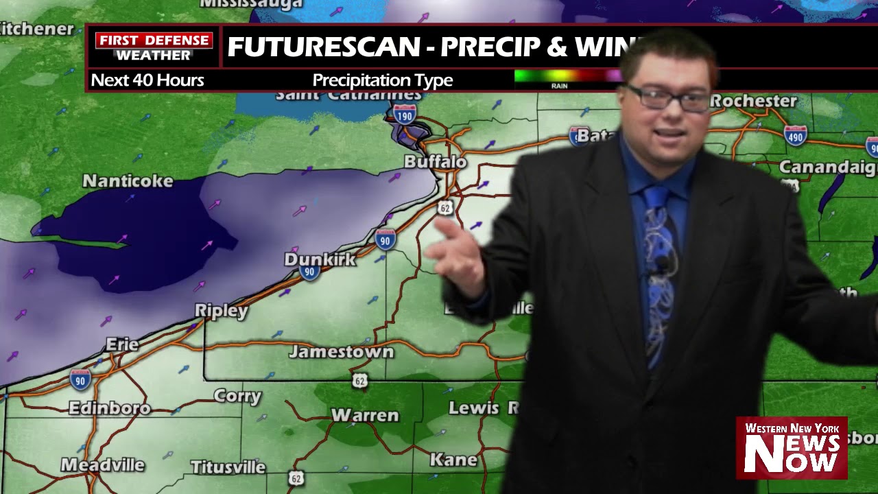
JAMESTOWN – The cold weather continues with a few snow flurries through the afternoon. However, another round of lake effect is on its way for the overnight.
While Lake Erie is mainly frozen, there are some patches of open water near Long Point and those few open holes in the ice coverage will be just enough to refuel the lake effect snow machine for tonight.
Once again, we’re looking at another 1 to 3 inches across most spots in the Southern Tier with some localized amount up to 2 to 4 inches in places.

Things will be changing a bit as we head into the weekend. We are talking about temps in the 40s and 50s! That’s some nice springtime weather!

However, it looks to be short lived as we will go back down into the 30s with a few snow showers for Monday and Tuesday of next week.
WNYNewsNow is a proud Ambassador for the NOAA Weather-Ready Nation program.


Leave a Reply