JAMESTOWN – We can say goodbye to the sunshine for a little while as clouds and rain will carry us through the end of the workweek.
A Cold front lurking back to our west will be moving through the region throughout the day today and tonight. Some scattered showers have already fired up out ahead of that front , which we’ve been dealing with through the early afternoon.
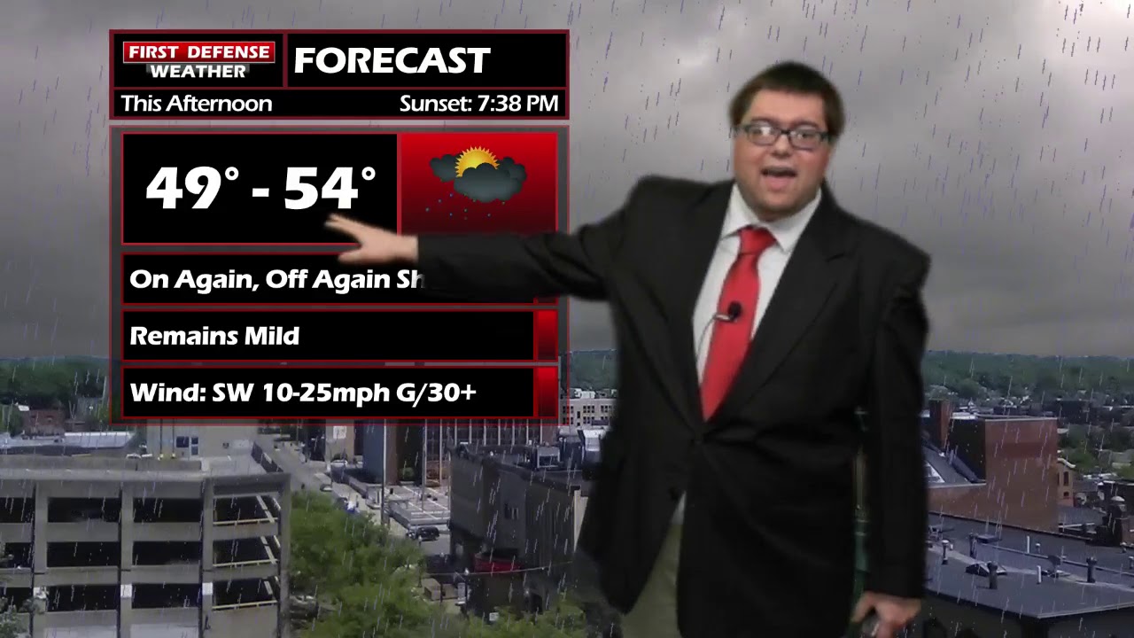
The rain will not be anything heavy or steady state. It twill be this on again, off again-type of rain sow agile it won’t be raining all the time, have the burial handy as you will be dodging a few rain drop outs there.
After front moves through early Friday, that is when we will get into the more widespread rain coverage. While rain will be steadier through the day, once again we’re not expecting any heavy rainfall throughout the day on Friday; less than a half-inch.

The weekend is one that we will have to watch closely. A storm system will come up through the Ohio River Valley with a stalling front across Western New York.
We will have widespread rain on Saturday as the winds pick up and temps in the upper 50s. Temps will drop through the late afternoon on Saturday, changing rain over to snow showers for Saturday and Sunday.
We are still a little too far to throw out exact numbers in terms how much snow could fall, a good idea based on current guidance is at least a couple inches of wet snow with much of the accumulation related to your elevation. The higher you go into the hills, the better chance you will have of seeing some flakes stick to the ground.
We begin to dry out early next week as temps rebound back into 50s for Tuesday and Wednesday.

Storm Spotter Training: The National Weather Service in Buffalo will be conducting their first ever online training class on Tuesday, May 2 at 7:00 PM. For the online training, you do need to preregister as spots for the online are limited. You can register your spot a http://www.weather.gov/buf/skywarn

Attendees will learn many topics to becoming a trained storm spotter, such as identifying storm structure, basic meteorology relating to severe convection (severe thunderstorms, tornadoes, etc), severe weather safety, and proper reporting techniques.
I encourage everyone to attend a training session; we are in desperate need of more trained spotters. What many people may not know is that spotters actually contribute to the warning process. Remember, Doppler radar looks above the ground; it’s only spotters who see what is happening down at the ground.
WNYNewsNow is a proud Ambassador for the NOAA Weather-Ready Nation program.


Leave a Reply