JAMESTOWN – After very yumilicious Sunday with highs in the upper 60s and lower 70s in spots, we have just one more day of that before we’re knocked back down to reality.
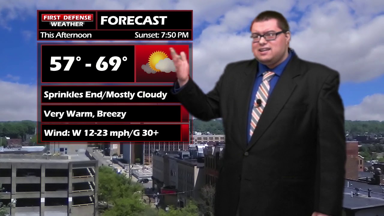
There won’t be as much sunshine to go around this afternoon as there was yesterday but temps should make it into the mid to upper 60s with the cooler spots near the Lake Erie shoreline.
There is the chance for a couple light rain showers early tomorrow morning but the majority of the day should be mainly dry albeit a bit cooler.
A Cold front will sweep through the region on Tuesday night and usher in a quick hit of cooler temperatures. With the front, there will be the chance for another round of rain showers that may briefly mix with a few wet snowflakes early on. Wednesday.
Temps rebound back into the 50s and 60s to end the workweek with a few scattered thunderstorms from time to time Friday afternoon.

Storm Spotter Training: The National Weather Service in Buffalo will be conducting their first ever online training class on Tuesday, May 2 at 7:00 PM. For the online training, you do need to preregister as spots for the online are limited. You can register your spot a http://www.weather.gov/buf/skywarn

Attendees will learn many topics to becoming a trained storm spotter, such as identifying storm structure, basic meteorology relating to severe convection (severe thunderstorms, tornadoes, etc), severe weather safety, and proper reporting techniques.
I encourage everyone to attend a training session; we are in desperate need of more trained spotters. What many people may not know is that spotters actually contribute to the warning process. Remember, Doppler radar looks above the ground; it’s only spotters who see what is happening down at the ground.
WNYNewsNow is a proud Ambassador for the NOAA Weather-Ready Nation program.


Leave a Reply