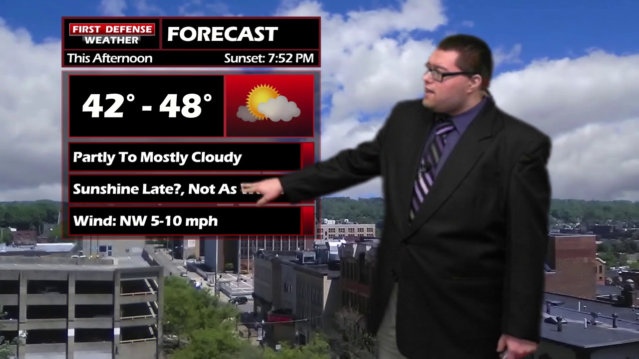
JAMESTOWN – Temperatures have fallen below average for today thanks to a Cold front that passed through yesterday. However, some short term warmth is on its way.
While the majority of the day will be partly to mostly cloudy, there is the chance the clouds my break part briefly late in the afternoon leading to some sunshine.
A limited chance for a couple rain showers that could mix with a few wet snow flakes are possible very early Thursday morning before becoming partly sunny for the afternoon with an advancing Warm front.
As the front approaches Western New York Thursday night, the winds will start to pick up out of the South. Wind gusts could reach strong to damaging levels through early Friday. A High Wind Watch and or Warning may be needed during this time frame.
The front will also bring the chance for some scattered thunderstorms that could contain some gusty winds, especially early in the day, with another shot of storms developing by the afternoon.
The weekend will trend cooler with below average temperatures lingering into early next week.

Storm Spotter Training: The National Weather Service in Buffalo will be conducting their first ever online training class on Tuesday, May 2 at 7:00 PM. For the online training, you do need to preregister as spots for the online are limited. You can register your spot a http://www.weather.gov/buf/skywarn

Attendees will learn many topics to becoming a trained storm spotter, such as identifying storm structure, basic meteorology relating to severe convection (severe thunderstorms, tornadoes, etc), severe weather safety, and proper reporting techniques.
I encourage everyone to attend a training session; we are in desperate need of more trained spotters. What many people may not know is that spotters actually contribute to the warning process. Remember, Doppler radar looks above the ground; it’s only spotters who see what is happening down at the ground.
WNYNewsNow is a proud Ambassador for the NOAA Weather-Ready Nation program.
![]()


Leave a Reply