JAMESTOWN – Today will be a fabtabulous weather day however, some more rain is on the way to Western New York and some of that rain could pose a fooding risk.
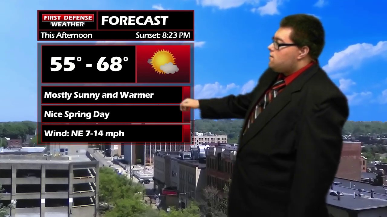
Temperatures throughout the afternoon today will be in the mid to upper 50’s along the Lake Erie shoreline to the mid 60’s well inland with plenty of sunshine to go around for everybody.
A deep area of Low pressure will track to the west of the region tomorrow and move through the upper Great Lakes. Whenever we’re on the eastern side of a storm system, we will generally warm up but we are not spared from impacts.

The majority of the day on Thursday will be rather useable and warm. There is the chance for a coupe showers early in the day but much of the morning and early afternoon will be dry. Most areas should spike into the lower to mid 70’s as the center of the Low moves closer.
Rain will begin by mid to late afternoon on Thursday and continue throughout the night, becoming moderate to heavy at times. There is the potential for some embedded thunderstorm activity within this cluster of rain as well.
Widespread rain will continue into early Friday, tapering to scattered showers by late in the day. Temps wi be in the 60’s early but will drop into the 50’s by the end of the afternoon.
High resolution guidance including the in-house FutureScan model, has been depicting a good soaker across the region from this system. Rainfall amounts will likely range between one and two inches across Western New York and Northwestern Pennsylvania by Friday morning.

With that amount of rain coming in a rather short period of time, that is cause for fooding concerns across the area.
Mother’s Day will be rather chilly with some scattered rain showers at times. Highs in the upper 50’s.

WNYNewsNow is a proud Ambassador for the NOAA Weather-Ready Nation program.


Leave a Reply