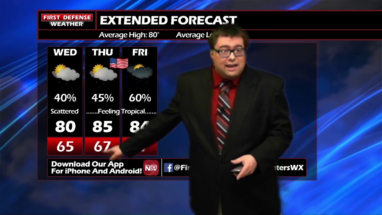
JAMESTOWN – A stalled front located south of the region is acting as a focal point for scattered afternoon showers and thunderstorms through the remainder of the week.
That front is also surging warm, tropical-like air northward into the Northeast, spiking the humidity to oppressive levels. With all the excess moisture in the air, that will be just enough fuel some afternoon showers and thunderstorms over the next couple of days.

This activity will not be widespread and will pop up at random times throughout the day with plenty of dry time in between. While not everyone will see a storm, the ones that do could see a downpour.
We are still remaining hopeful that all of the showers and storms will wind down before fireworks time tomorrow night. Otherwise, mostly cloudy, warm and sticky with temps in the upper 70’s to lower 80’s by dusk.

A short relief from the warmth and the oppressive humidity will come our way on the weekend into early next week. Sunday through Tuesday is looking dry with lots of sunshine and seasonal temperatures.

WNYNewsNow is a proud Ambassador for the NOAA Weather-Ready Nation program.


Leave a Reply