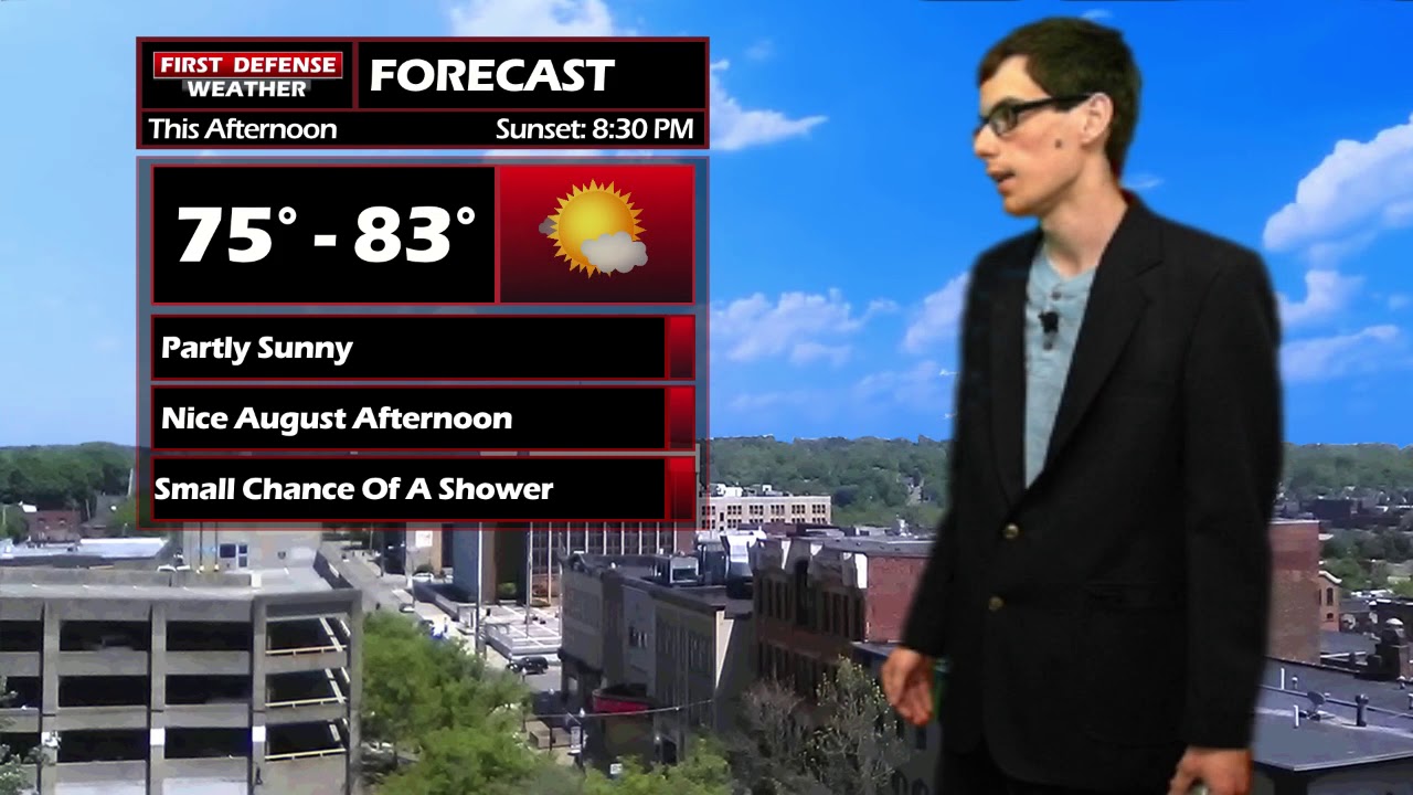
JAMESTOWN – Monday will provide for another nice early August day. Tuesday through Thursday will provide for better chances of rain each day before cooler weather takes hold by the weekend.

If you have any outdoor activities for Monday, you should be good. Partly cloudy skies with temperatures in the lower 80’s. An isolated shower or thunderstorm are possible across the Southern Tier this afternoon. Tonight will be mainly clear with temperatures in the lower 60’s. Some patchy fog will develop overnight.
A series of systems will bring chances for rain and thunderstorms over the period from Tuesday to Thursday. These days will not be a complete and total washout. There will be some dry times each day. Temperatures each day through Thursday will hover in the upper 70’s to lower 80’s.
After the passage of these fronts, dryer and cooler weather will move in. It will begin to feel like late summer/early autumn. As of now, temperatures this weekend will hover in the upper 60’s to the lower 70’s.

WNYNewsNow is a proud Ambassador for the NOAA Weather-Ready Nation program.
![]()


Leave a Reply