JAMESTOWN – Showers and thunderstorms will develop across the Southern Tier and Northwest Pennsylvania this afternoon with the potential some of those storms could be strong to severe.
NOAA Storm Prediction Center has outlined a standard Slight Risk (level 2/5) for severe thunderstorms, mainly from the far southern edge of the Southern Tier, to points south and east into Northwest PA. There is also a low-end Marginal Risk (level 1/5) for the remainder of the Southern Tier.

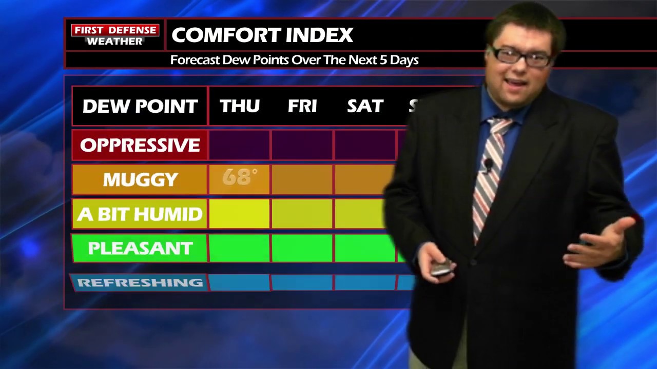
The combination of high humidity and warming air from daytime heating will be the fuel behind widely-spaced showers and and thunderstorms this afternoon. Current upper air data and high-resolution convection models are indicating enough atmospheric instability to elevate a few of those storms to severe levels. The main timing window will be between 3 p.m. and 8 p.m. this evening.

Keep in mind, these storms will popup throughout the afternoon and not everyone will see a storm. However, the locations that are lucky enough to win the “thunderstorm lottery”, could see damaging winds, large hail, and heavy rain.
Scattered afternoon shower and storm chances remain through the next several days due to the high amounts of moisture in the atmosphere. However, not a single one of those days will be a total wash with some dry time in between.

WNYNewsNow is a proud Ambassador for the NOAA Weather-Ready Nation program.


Leave a Reply