App users, tap here to watch video.
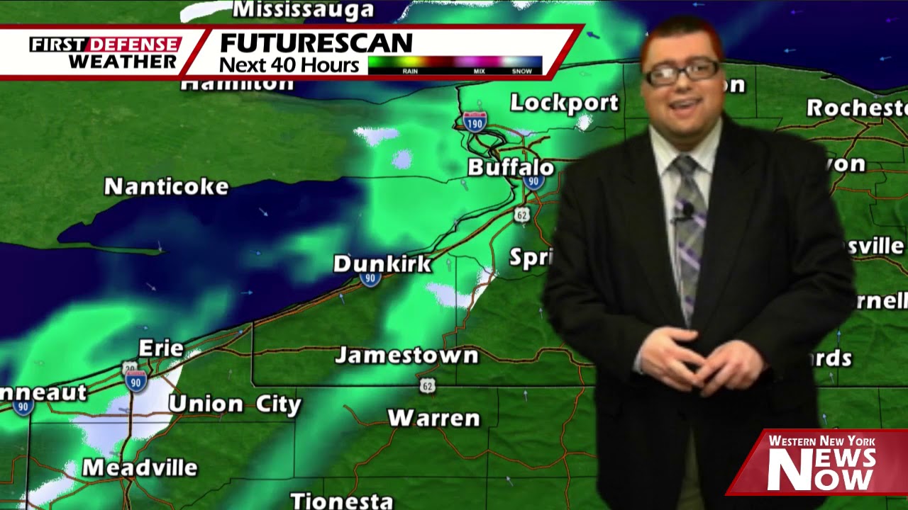
JAMESTOWN – In the wake of yesterdays Cold front passage, wintry mix will continue in pockets for the afternoon. We’ll squeeze out a good day on Thursday before another storm heads our way for Friday with the potential for accumulating snow once again.
While most of the area should see plain rain showers in scattered nature, there could be a few pockets mainly in the colder pockets where some wet snow could mix in from time to time. However, no snow accumulation is expected. Highs today will range 35 on the hills to 45 near the Lake Erie shoreline. Wind gusts could be near 30 MPH at times as well.
Any precipitation will come to an end early tonight, leading to some partial clearing overnight. Lows 20 valleys, 26 lakeshore.
A great Thursday is on tap with partly to mostly sunny skies and highs 40 to 47.
As we head into Thursday night, two storm systems will be riding close to Western New York; one to the west in the upper Great Lakes with an associated Cold front, and one off to the east that will ride along the Atlantic coast. As it stands now, these two storms will “marry” with the coastal low absorbing the moisture from the other.

This will likely lead to a period of wintry mix early Thursday night which will then change to all snow by Friday morning as the two storms centralize.
Snow will continue in on and off nature through the day on Friday with temperatures falling by the afternoon. Our forecast high of 35 will be early in the morning, sliding down into the lower to mid 20’s by the end of the day.
There could also be a window for some lake enhanced snow to develop on the backside of the departing low as it moves offshore
It will also become windy throughout the day as well with wind gusts possibly ranging between 30 and 40 MPH.
While exact snowfall totals are still a little bit in question, the dynamics of this system do have the potential to produce at a least a few inches of fresh snow mainly across the higher terrain of the Southern Tier.
High pressure returns for the weekend with loads of sunshine both days and temperatures breaking the 50-degree mark on Sunday.

A shortwave trough will dig into the region early next week, bringing another chance for rain showers both Monday and Tuesday with temperatures remaining above average.
WNYNewsNow is a proud Ambassador for the NOAA Weather-Ready Nation program.
![]()


Leave a Reply