App users, tap here to watch video.
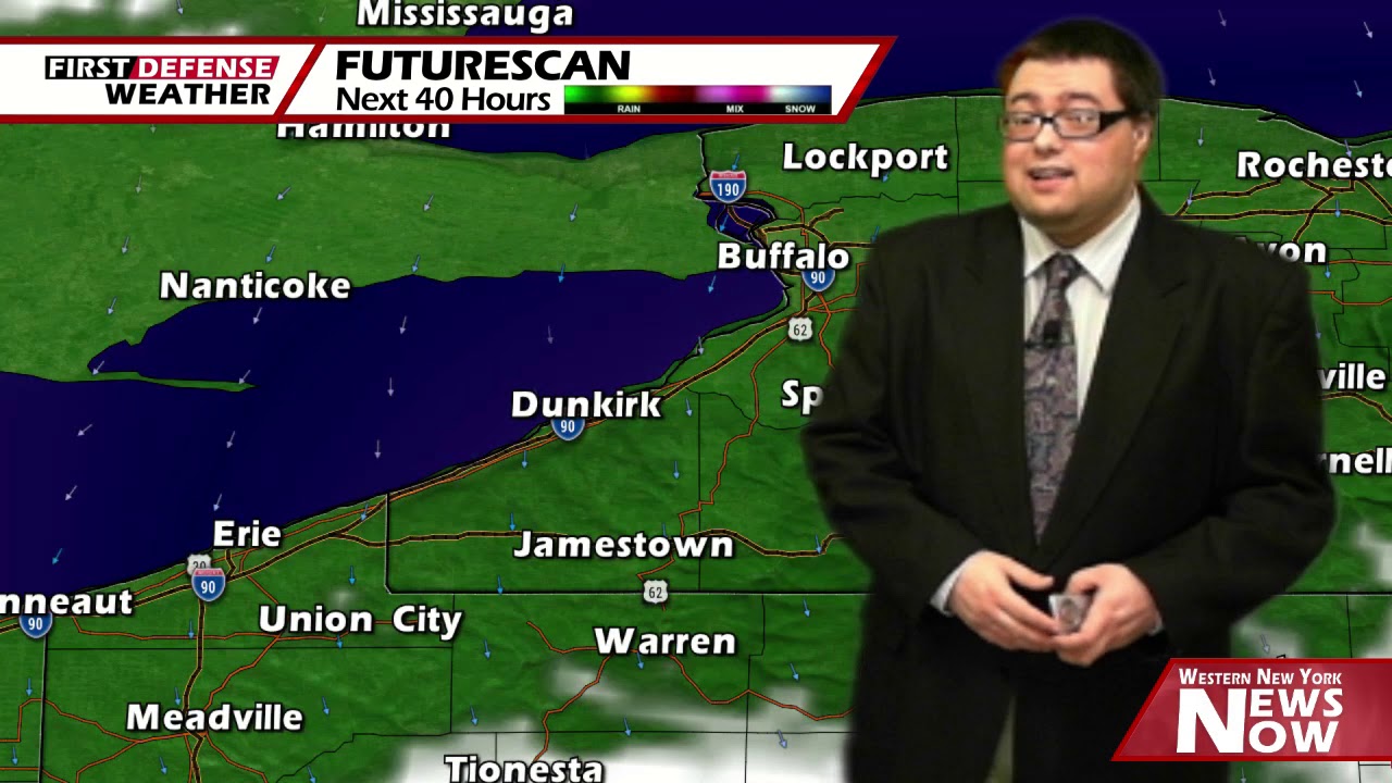
JAMESTOWN – We are starting April off on a good note with a good supply of sunshine and warmer temperatures. This pattern will take us right through the reminder of the week with the next chance of rain not until the second half of the weekend.
For the afternoon, mostly sunny skies to full sunshine across the area. However due to a northerly wind, we will be held down a little bit in the temperature department. Highs will range 43 on the hills to 49 across the lower elevations. There will be a bit of a breeze with winds kicking up to 10 to 15 MPH through the afternoon.
A few more clouds will stream in tonight leading to partly to mostly skies. Lows 32 in the valleys to 36 near the Lake Erie shoreline.
A storm system moving away from the region will keep its precipitation clear of Western New York however, we will wrapped up in some of the cloud cover associated with the storm. So will call Thursday partly sunny on average. Highs 41 to 47.
The sunshine will be back in full force on Friday and Saturday with highs heading towards 50 once again.
A few scattered showers will be possible on Sunday with a Warm front moving through. Most of the region will be in the lower 60’s during this period.

We’ll squeeze out a dry day on Monday with other chance for a few showers with a frontal boundary on Tuesday with highs staying in the lower 60’s.
WNYNewsNow is a proud Ambassador for the NOAA Weather-Ready Nation program.
![]()


Leave a Reply