(WNY News Now) – The National Weather Service in Buffalo has issued a Winter Weather Advisory for portions of Western New York, warning of lake-effect snow, strong winds, and hazardous travel conditions through early Saturday.
The advisory was issued at 12:30 p.m. Thursday and remains in effect from 10 a.m. Friday through 1 a.m. Saturday, according to the National Weather Service (NWS) Buffalo office.
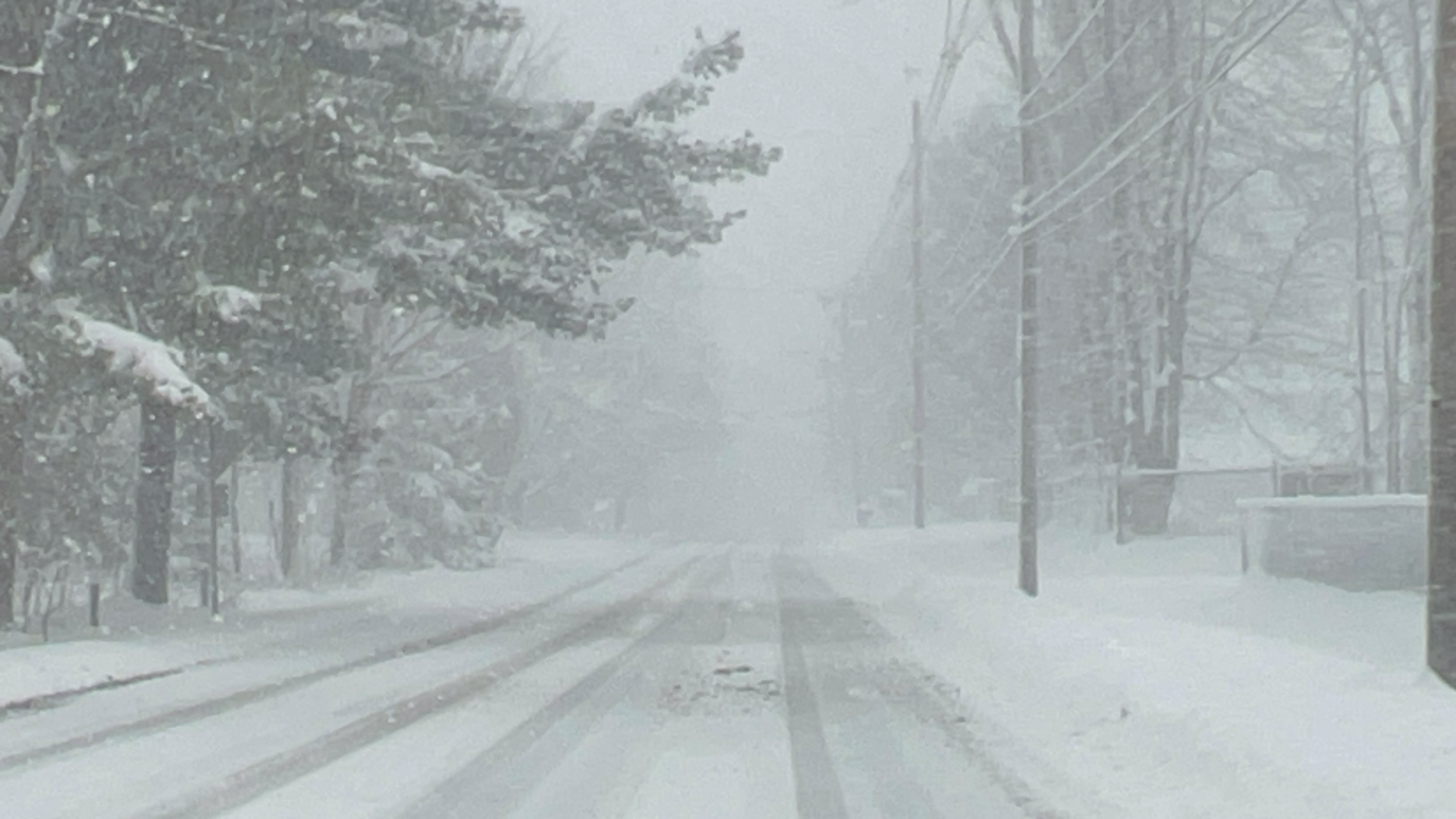
The advisory covers Wyoming, Chautauqua, Cattaraugus, and southern Erie counties. Forecasters say lake-effect snow and blowing snow are expected, with total accumulations of 3 to 6 inches possible in areas experiencing the most persistent snow bands. Wind gusts could reach up to 45 miles per hour.
Officials warn that slippery road conditions are likely, particularly during the Friday evening commute. Gusty winds may significantly reduce visibility in blowing snow and could lead to downed tree branches, resulting in isolated power outages.
The NWS notes that minor snowfall accumulations may occur earlier Friday morning as overnight rain transitions to snow. Lake-effect snow is expected to fall in relatively narrow bands, which could cause rapidly changing road and visibility conditions over short distances.
Motorists are advised to slow down, use caution, and be prepared for sudden changes in travel conditions. Residents are also urged to use care when walking on stairs, sidewalks, and driveways, which may become icy and slippery, increasing the risk of falls and injuries.
The National Weather Service encourages the public to submit snow reports through its website or social media platforms to assist with forecasting and public safety updates.


Leave a Reply